

Apps Like Airspace Studio for iPhone and iPad
Airspace Studio screenshots
Ranked alternatives
Showing 401–420 of 1,000 ranked alternatives.

Map Calculator 2.0 - Measure Distance & Area, Map a Walk, Run or Bike Ride
Dima Bart
, area, and paths on maps
Distances between points or calculate area of locations. Draw paths on maps or tap to add points. Record movement automatically while walking, running, or cycling. Save measurements for later review.

Tactiqs
Marine Ventures LLC
Track race conditions and course data
Monitor boat performance with real-time sensor data from a wireless NMEA interface. View customizable displays on multiple iOS devices. Analyze race course conditions and track race progress.

B737 QRG
Flight Simulation Systems, LLC
Boeing 737 emergency and abnormal procedures.
The app provides over 150 emergency and abnormal flight procedures for the Boeing 737-600, -700, -800, and -900. It is designed for systems study and simulator sessions, offering indexed and cross-referenced content with airmanship tips.


Raleigh Airport (RDU) + Radar
Renji Mathew
Track flights and explore Raleigh easily.
The app provides live arrival and departure boards with flight tracking. It also offers a sky radar to track flights in real time and explore locations in and around Raleigh.



DONIA
andromede oceanologie
Anchor and navigate with seabed maps
Visualize seabed types including sand, Posidonia, coralligenous, and rock. Access port information, maritime regulations, and diving sites. Book mooring buoys for secure anchoring. Track anchoring locations and monitor seabed conditions in real time.

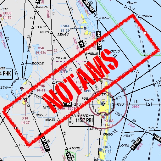
Notam Helper
Mark Bateman
Find and weather contractions
Assists pilots with interpreting NOTAMs, METARs, TAFs, and Area Forecasts. It decodes acronyms and contractions for both inflight and ground use. Users can search for details and weather reports.

Futura FieldPro
Futura Systems Inc.
Edit geodatabase data on iPad
View and analyze ESRI geodatabase data on or offline. Edit features, perform red lining, and conduct field inspections. Collect data, manage outages, and query spatial information. Sync and share updates with GIS systems.


AltitudeAlert
Raymond Chase
Set altitude alerts and track vertical navigation
Manage altitude with customizable VNAV settings for precise control. Set altitude alerts and use ALT HOLD mode for minimal setup. Track vertical navigation parameters and adjust flight paths accordingly.



where2fly paragliding
ionesoft GmbH
Paragliding and delta pilot companion app.
The app displays over 15,000 take-off and 4,000 landing sites on an interactive map. It includes public transport data for Switzerland and integrates worldwide webcam feeds for weather observation.


Avidyne IFD100 10.2
Avidyne Corporation
Navigate with real-time flight data
Access real-time flight data and sensor information from compatible avionics systems. Display flight plans and sensor data on up to two iPads. Connect via Wi-Fi and sync with IFD software versions .6.1 and earlier.
How we rank alternatives
Apps are ranked by functional similarity, category fit, rating confidence, and popularity.