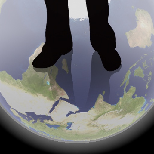
The app shows a transparent view of the earth, allowing users to see the other side of the world beneath their feet. It displays the positions of major cities on a reversed blue marble through a camera overlay view.
Measure lengths, areas, heights, and distances using on-screen tools. Use the protractor, unit converter, and for precise calculations. Check light levels, calibrate screens, and measure decibels.
Prepare for FAA exams with topic-based quizzes and detailed explanations. Access 60 questions with full version offering 690+ questions. Covers RPA, PPA, CPA, ATP, Part 107, Sport , and Instrument Rating exams.
Display , latitude, altitude, and GPS speed. Show real-time weather, pressure, and wind direction. Track location with GPS and mobile sensors. View geographical data for accurate positioning.
Learn to navigate outdoors using interactive maps and a digital compass. Plan and track courses. Share routes with friends and connect with other users to exchange course tips and discover new trails.