

Apps Like OceanFishMap for iPhone and iPad
Ranked alternatives
Showing 661–680 of 1,000 ranked alternatives.


GoFindMe: Realtime GPS Tracker
ORANGE VIEW LIMITED
Track real-time location and direction
Track real-time positions, distance, and direction with a high-precision GPS module and LoRa radio. Share location updates and communicate during outdoor activities without needing Wi-Fi, cell service, or subscriptions.
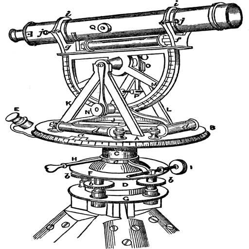
Topography
Georgios Graikousis
Measure surface area and convert coordinates.
The app converts coordinates to UTM EGSA87 Datum and calculates polygon area in square meters. It sends measurements via email in DXF, KML, or TXT file formats for use in various applications.



SPOT Connect
Spot LLC
Send messages via satellite anywhere.
The app pairs with SPOT Connect, a satellite messenger for sending messages via satellite from remote locations. It sends location-based messages from areas beyond cellular phone coverage using the Globalstar satellite network.

EarthMeter
Hartwig Wiesmann
Calculate distances and areas on Earth.
The app calculates distances, areas, and circumferences using algorithms that account for the Earth's curvature. It also converts position coordinates between different coordinate systems and supports various geodetic datums and projection methods.





WAVZ
WAVZ L.L.C.
Pin hazards, police, and POIs on
Users can add pins for hazards, police locations, and points of interest on a map. Pins notify other users when they come within range. Users can upvote or downvote pins to filter out inaccurate information.

Oakland Portal
Port Department of The City of Oakland
Track terminal turn times and resources
Access real-time marine terminal turn times and resource information. View truck arrival and departure schedules. Receive updates on terminal operations. Navigate port facilities with interactive maps.

How we rank alternatives
Apps are ranked by functional similarity, category fit, rating confidence, and popularity.