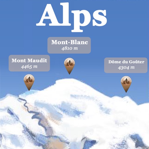
The app provides offline GPS navigation for hiking and mountaineering, displaying the user's location on topographic maps. It allows users to record their routes and works without cell service.
The app references over 20,000 peaks, passes, lakes, and shelters in the Alps. Users can find names, altitudes, and distances to summits and locate various points of interest on a 2D map.
The app measures wind speed, direction, and air temperature using external Navis wireless sensors. It displays current, average, and maximum wind speed, along with wind direction, air temperature, and windchill.
View real-time METAR and TAF data for airports, sea plane bases, and heliports. Search by name, ICAO, or IATA code. Display nearest, all, or favorite locations on an interactive map. Add or remove favorites. Track weather conditions and forecasts.
Check current and forecasted conditions by the hour for the next ten days. View temperature, rain, snow, and wind data. Use maps to explore local patterns. Receive alerts for adverse conditions. Sync favorite locations across devices using iCloud.