

Apps Like Elevation Map-Mountain Weather for iPhone and iPad
Elevation Map-Mountain Weather screenshots
Ranked alternatives
Showing 341–360 of 1,000 ranked alternatives.

dress.app - weather forecast
Yomba Limited
Decide what to wear today.
This weather app uses collected data to dress up an animal persona. The persona suggests clothing choices and whether to bring an umbrella.

GPS Map Camera Geotag Location
Nikhil Viradiya
Tagline
Photos with GPS data including , time, weather, and compass. Share geotagged photos with contacts. Add map markers, latitude, longitude, and altitude to images. Stamp photos with date and time. Sync data with captured photos.
Intuitive Weather Update
Intuz, Inc.
Intuitive weather forecasts with gesture interface.
The app offers a gesture-driven dial interface for viewing hourly weather forecasts. It provides a clean and innovative way to check weather, including air quality, UV, and sunrise/sunset times.

altimeter professional
FFZ srl
Track altitude and record position data
Displays altitude using a digital readout and an analog gauge. Tracks maximum height reached during use. Shows altitude accuracy and sensor quality. Utilizes GPS and barometric sensor for precise measurements.

AirScope: Pollen & Air Quality
Ingenio Productions LLC
Check air and weather alerts
View real-time and forecast air index data for specific locations. Check daily counts and five-day allergy forecasts. Access NOAA Doppler radar and weather maps for pollution, air , and .

Altitude measurement
Nanshu Kaneshiro
Display altitude on the map.
The app displays altitude in meters and feet on a map. Users can view the altitude of a central location or five locations along a straight line.


Jetting CR125 Shifter Kart
Ingenieria del Software ISEnet S.L.
Get recommendations based on weather and engine
Users input engine configuration details and location data to receive recommendations for Honda engines. The fetches weather data including temperature, pressure, and humidity using GPS or WiFi and network connections.
WeatherLike: Weather Forecast
Son Ngo Dinh
Check and track storms
Check current and forecasted with hourly and 7-day data. View temperature, rain probability, air quality, snow alerts, humidity, visibility, dew point, air pressure, wind speed, and direction. Receive alerts for severe events.

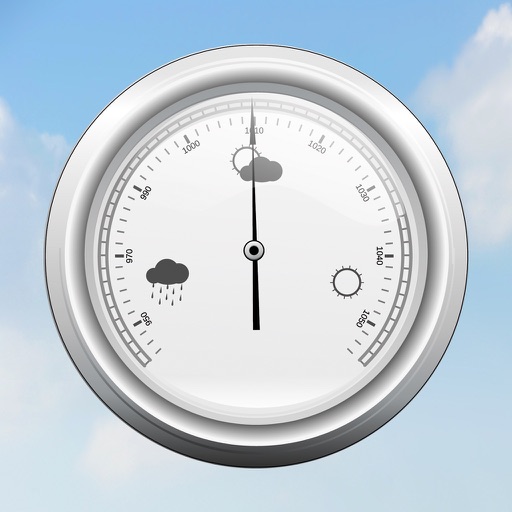
Barometer plus Altimeter
AFS-Software GmbH & Co.KG
Barometric pressure and sensor data.
The app displays current barometric pressure using the device's air pressure sensor. It shows measured maximum and minimum values, and users can move the sensor to improve readings.

West Texas Mesonet
Texas Tech University
Track weather updates in real time
Access real-time weather data from over 150 stations in , eastern New Mexico, and southwest Colorado, updating every 5 minutes. Save favorite stations for quick access. View current conditions and historical trends.

GPSLocator: Run, Hike & Sail
Ioannis Pinakoulakis
Real-time GPS tracking for outdoor activities.
The app provides real-time GPS tracking for outdoor activities. It offers route planning, navigation, and track recording with live statistics, all while ensuring user privacy with no data collection.

Maps 3D PRO - Hike & Bike
movingworld GmbH
Navigate trails, roads, and terrain
View 3D terrain with elevation details. Plan routes using detailed topographic . Access footpaths and natural features. Track progress with distance and elevation metrics. Share and routes with others.


Meteo Wave Weather
MUSTAQBAL ALRAQAMY FOR MARKETING AND PR CO. L.L.C
Track and air quality updates
View current with hourly and daily forecasts. Check real feel temperature, wind, humidity, pressure, visibility, and UV index. Access interactive radar and satellite maps for storm tracking. Monitor real-time air quality data.

Sun n Moon
David Gibson
Sun and moon times for Earth.
The app calculates sunrise, sunset, moonrise, and moonset times for any location. It displays moon phases and shows the sun and moon positions on a compass.

How we rank alternatives
Apps are ranked by functional similarity, category fit, rating confidence, and popularity.