Survey points, lines, and polygons with GPS tracking. Log full GPS data for fields. Create quickmarks during surveys. Visualize data in map view. Use internal or external GPS devices.
by GK Technology, Inc.★ 5.02 ratingsNavigationFreeData updated 2026-09-06
LogGPS records GPS data including coordinates, altitude, speed, and accuracy when the save button is pressed. Users can add notes, edit or clear them between saves. Data is stored with timestamps and can be reviewed later.
Activities detailed statistics and charts. Monitor real-time location and speed of friends and other skiers. Access high-accuracy positioning and detailed maps. View weather data and advanced tracking features.
The app surveys land using GPS signals for precise results. Users can unlock full area measurement capabilities through a purchase, while free use provides side lengths and circumference.
Access business contacts and manage calls through a mobile interface. View call logs, send and receive messages, and integrate with a cloud-based PBX system. Connect to colleagues and customers using Wi-Fi or premium cellular data.
Search destinations, get shortest routes, navigate
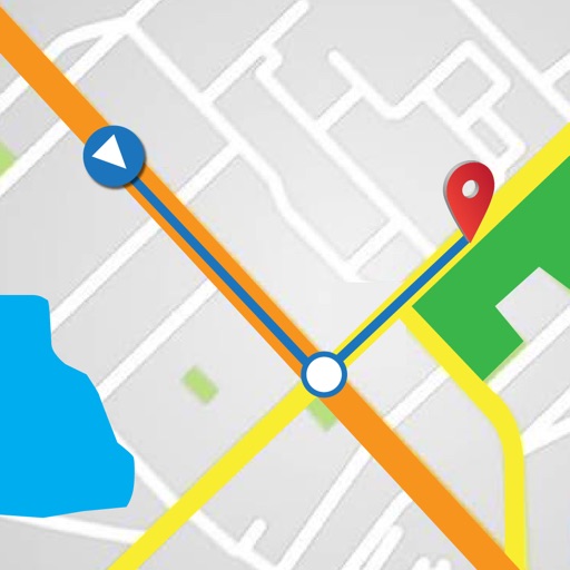
Find locations and plan routes using a 2D map. Search for points of interest or destinations. View the shortest route on the map. Navigate with a simplified interface.