View current and forecasted with hyperlocal accuracy. Check hourly updates, radar maps, and severe alerts. Customize widgets for quick access. Track air quality and UV index. Share data with friends.
View live weather radar and satellite imagery. Track precipitation types and lightning. Access high-resolution forecasts using advanced models. Set location-based alerts. Share weather data with others.
View detailed hourly and daily forecasts with high accuracy. Customize alerts for precipitation, temperature, and wind. Track trends and access imagery. Set location-based notifications. Share forecasts with others.
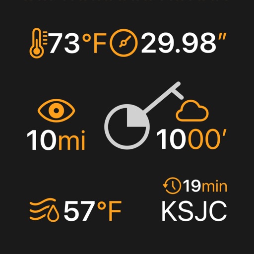
View real-time METAR and TAF data for airports, sea plane bases, and heliports. Search by name, ICAO, or IATA code. Display nearest, all, or favorite locations on an interactive map. Add or remove favorites. Track weather conditions and forecasts.
Track tides and marine weather conditions with real-time data from global providers. View detailed and forecasts. Set alerts for tides and sunsets. Sync with Apple Watch for full-screen displays. Share station information.
Access real-time buoy data and 5-day forecasts from NWS. View 6-hour wave trends and 7-day hourly wave and tide predictions. Overlay NOAA maps and check offshore zone forecasts. Receive detailed NWS discussions and use the Apple Watch for alerts.
View detailed NWS/NOAA forecasts with a tap on the map. Access 7-day forecasts including text summaries, spot and zone , snow accumulation, and severe hazards.
The app provides detailed wind and weather forecasts for over 160,000 locations. It offers current measurements, tide forecasts, and severe weather warnings for the US and Europe.
The app displays river stage height and flow rate for over 12,000 active gauges across the USA. It provides official flood warnings and alerts from the National Weather Service, with color indicators for river conditions.
Track elevation and atmospheric pressure with and barometer. Use compass for direction based on satellite location. Access weather updates and speedometer. Log steps with pedometer. View maps and use binoculars for scouting.
View current updates multiple times per hour. Access high-resolution satellite imagery and 250-meter radar. Check hourly and daily forecasts from computer models. Add and save favorite locations. Use integrated GPS for location-based data.
Plan activities at sea with real-time coastal weather data. View daily and monthly tide charts, tidal coefficients, and water levels. Track swell height, wave direction, and surf tables.
Access real-time updates with multiple hourly refreshes. View high-resolution radar and satellite imagery. Track severe trends with future radar predictions. Save favorite locations and use integrated GPS for location-based alerts.
Track weather conditions at fishing locations using real-time observations and . Access local weather data from Tempest Weather Systems and government sources. View Nearcast predictions and supplement with reports from AWOS, ASOS, METAR, and NWS.
Access real-time data with high-resolution radar and satellite imagery. View current conditions and forecasts updated hourly. Add and save favorite locations. Track severe movement with future radar predictions.
View current updates multiple times per hour. Access high-resolution satellite imagery and 250-meter radar. See future radar for severe direction. Add and save favorite locations. Use integrated GPS for location awareness.