Find mooring or boat slip locations with precise coordinates, range, and bearing. Input your boat's position and receive navigational guidance. Avoid hailing the harbor master for real-time docking assistance.
by DockOnIt, LLC★ 5.02 ratingsTravelFreeData updated 2026-09-06
Navigate, track, and access real-time data onboard
Access real-time marine data including navigation, wind speed, and water depth. Connect iOS devices to a boat's network for instant information. View critical data on a touchscreen interface. Sync with NMEA systems for accurate readings.
View maps in multiple styles and overlay grids for precise navigation. Access live location data including coordinates, address, heading, and speed. Plan routes with detailed terrain analysis and save custom waypoints.
Manage ride bookings and assignments for transportation services. Track vehicle locations and update ride statuses. Access real-time dispatch tools and communicate with drivers. Customize features to fit local market requirements.
Race start timer vibrates and beeps every 30 seconds, with a 10-second final countdown. Displays current boat speed in knots. Uses digital crown to adjust countdown if missed. Allows setup of countdown from 1 to 10 minutes.
The app covers sea fishing, from boat action to shore fishing. It provides reviews of rigs, exclusive offers, and tips from experts on catching fish around Britain.
Track shots and environmental conditions including wind speed, elevation, temperature, humidity, and ground conditions. Receive precision club recommendations based on shot shape and environmental data.
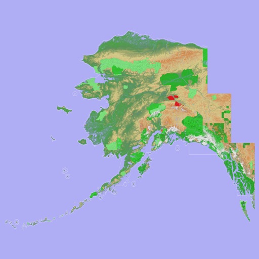
View 3D topographic maps of offline with vector data. Navigate by car, boat, plane, or on foot. Access worldwide satellite maps online with automatic caching. Toggle between map types and zoom to any location.