Record workouts with heart rate, speed, elevation gain, and other metrics. Import and export GPX and FIT files. View offline with custom tiles. Overlay routes from GPX, FIT, KML, or GeoJSON files. Generate walking and cycling directions.
Measure altitude, latitude, and longitude in real time. Display current direction using a compass. Show location with map-based coordinates and address. Share photos with altitude data on social networks.
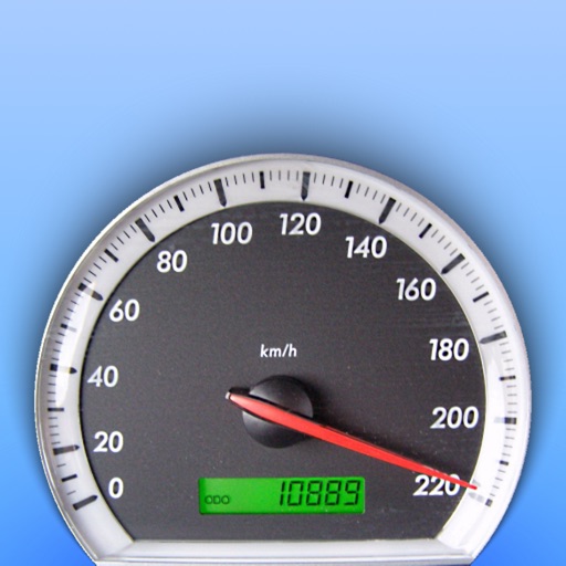
Track and distance with real-time GPS. Log trips and view detailed statistics. Use drag meter for performance analysis. Monitor odometer and fuel efficiency. Access advanced HUD display for driving insights.
Track location and movement with GPS. View USGS, US Forest Service, and Canadian . Log trails and waypoints. Navigate offline in areas without cell signal. Display elevation and terrain details. Share route data and historical tracks.
Monitor and altitude using the device's internal sensor. Track changes to predict weather patterns. Provides altimeter readings for elevation awareness.
Navigate hospital campuses with turn-by-turn directions
View hospital campus maps with turn-by-turn navigation. Find destinations, search for locations, and receive walking directions. Locate amenities like the cafe and restrooms. Identify parking options and save car positions.
Track vehicles in real time with real-time location updates. Select a single vehicle for focused monitoring. View speed in miles per hour with color-coded indicators for movement and speed limit violations. Switch between map and satellite views.
The app calculates distances and bearings between two points using latitude and longitude. It can also determine a final position from a starting point, distance, and bearing.