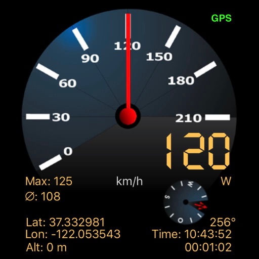
Navigation displays real-time telemetry data including location, heading, altitude, speed, distance, and elapsed time. Users can customize display modes, units, and configurations by tapping or long-pressing values.
The app displays a user's website in an embedded browser and configures the barcode scanner to send scanned codes. It supports various barcode symbologies and allows for custom URL configurations for barcode lookups and home pages.
Track device location in real time using GPS. Record and review movement history. Set intervals for battery efficiency. Receive alerts for location changes. Share location data with others. Control settings remotely.
Plan trips with real-time maps and accurate route details. Find transfer options, travel time, ticket costs, and distances. Access nearby locations and navigate offline without internet.
View a 3D with GPS tracking and real-time compass. Explore locations with media features and video streams. Rotate, zoom, and navigate the Earth. Access location-based content and track movement.
Navigate Greater Melbourne with detailed street maps and over 2000 new listings. Access updated Ballarat maps not available in print. Search for addresses, businesses, and landmarks. Sync with Melway Street Directory for accurate local information.