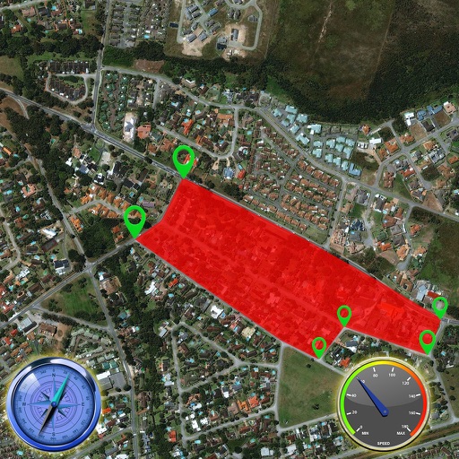
The app provides offline mapping and GPS tracking on detailed Hema maps. Users can see their location on maps featuring roads, 4WD tracks, and topographic information to guide travel.
Navigation displays real-time telemetry data including location, heading, altitude, speed, distance, and elapsed time. Users can customize display modes, units, and configurations by tapping or long-pressing values.
Receive real-time kinematic (RTK) corrections for precise GPS positioning. Connect to MyWay RTK branded Bluetooth devices. View satellite status and correction data. Adjust settings for optimal navigation accuracy.
Find nearby stations using GPS. Rent a bike with Bluetooth connectivity. Return a bike using the camera for verification. Track location and manage rental status in real time.
Capture photos with integrated map data and weather information. Adjust settings including grid, aspect ratio, and manual map options. Edit images with map overlays and share directly.