Plan routes and save them for future use. Create and manage tracks with waypoints. Share routes with friends. Download maps for navigation. Mark locations and export tracks in GPX format. No ads and no time limits for use.
Navigate with GPS featuring offline for USA, Great Britain, France, Ireland, New Zealand, Norway, Sweden, and Denmark. View detailed terrain features, set waypoints, and track routes. Download free demo to preview map quality.
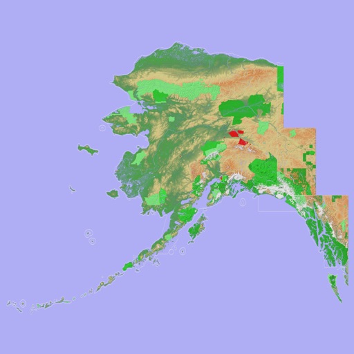
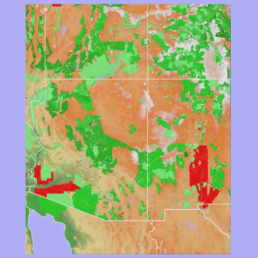
Navigate with a 3D topographic map of the USA. View detailed terrain and vector data offline. Use in vehicles or during outdoor activities. Access global maps online with automatic caching for offline use.
View 3D topographic maps of offline with vector data. Navigate by car, boat, plane, or on foot. Access worldwide satellite maps online with automatic caching. Toggle between map types and zoom to any location.
Navigate with turn-by-turn instructions and real-time guidance. Choose routes for car, motorbike, bicycle, or walking. Add way-points for optimized paths. Locate nearby hotels, restaurants, hospitals, and ATMs .
Record workouts with heart rate, speed, elevation gain, and other metrics. Import and export GPX and FIT files. View offline with custom tiles. Overlay routes from GPX, FIT, KML, or GeoJSON files. Generate walking and cycling directions.
Navigate with marine and outdoor offline. Overlay satellite and terrain data on charts. Access local weather forecasts. View worldwide and satellite imagery when connected. Use NOAA raster data for detailed navigation.
Navigate ’s RTA system with maps. View routes, transfer stations, and service updates. Find nearby stops and plan trips. Get real-time arrival times and track your train location. Receive notifications for delays or changes.
The app provides access to climbing and backcountry skiing guidebooks on a mobile device. Guidebooks are available for offline use after download and offer turn-by-turn trail navigation to climbs using the device's GPS.
Enter coordinates to set waypoints. Navigate to locations using latitude and longitude. View maps with metric or customary units. Track direction and distance. Save and recall multiple waypoints.
The app provides 3D topographic maps for iPad and iPhone. Vector map data is contained within the app for offline use, supporting navigation in various environments.
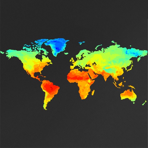
View global weather data with interactive map panning and zooming. Switch between weather layers for current and forecasted conditions. Track detailed weather changes up to 0.25 degrees on land or sea.