The app provides a portable copy of the US National Register of Historic Places, including over 100,000 sites. Users can find significant locations nearby or along a planned route, with options for various map views and Wikipedia information.
Look up with detailed state, city, and county information. View population data and locate zip code center points on maps. Find nearby , search by city, and access data without internet.
Lookup for locations in North America, including the US, Canada, and Caribbean regions. Search for cities to find associated . No internet connection required.
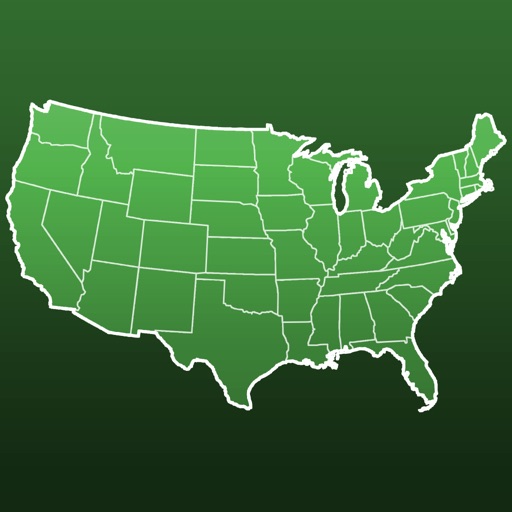
Learn geography by identifying countries, US states, UK counties, and London boroughs. Practice at your own pace with unlimited attempts or test speed with a timed challenge allowing three mistakes. View and compare top scores globally.
Test geography knowledge with quizzes and challenges
Learn and test geography knowledge with interactive game modes. mode allows answering questions with 3 wrong attempts. Challenge mode requires guessing up to 50 in two minutes. List mode lets users review and study the 50 of the United .
Learn country names and locations through interactive jigsaw puzzles. Explore maps of Asia, Australia, Canada, Central America, Europe, Oceania, South America, and U.S. states. Drag and drop pieces to complete each map.
And memorize country locations, capitals, cities, rivers, and lakes through interactive gameplay. Complete 35 levels organized into categories like , EUROPE, and NORTH AMERICA. Test knowledge with quizzes and track progress across different regions.
Retrieves information linked to phone numbers, including spam likelihood. Users can copy numbers from call logs, check details for US and Canadian numbers, and identify unknown callers before answering.
Monitor a child's school bus location in real time within a customizable Alert Zone. Receive push notifications when the bus approaches or leaves the zone. View alerts for substitutions, delays, and closures sent by transportation operators.