Log hunting trips with GPS tracking and map integration. Record deer sightings and activity patterns. Manage gear inventory and set reminders for maintenance. Share trip details with other hunters. Export data in multiple formats for later review.
Save locations and navigate to destinations or photo spots without an internet connection. Follow arrows for clear directions. Track parking spots, meeting points, hotels, or campsites. Use a simple, streamlined interface for easy orientation.
Allows users to track trails with real-time GPS and high accuracy positioning. It offers multiple map layers including OpenStreetMap, Satellite, Terrain, and Topographic views.
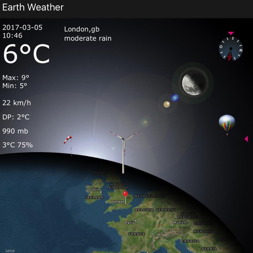
Displays current data including temperature, windchill, humidity, wind speed, direction, barometer, and moon phases. Shows station name or town. Provides a 4-day forecast.
Navigation provides turn-by-turn directions, map views, and route planning. Track location and movement with . Switch between Stand-Alone and Network modes. Save and share trip logs. Set waypoints and measure distances.