View real-time mosaics with 250-meter resolution for detailed storm tracking. Zoom in on weather patterns and analyze data. Save and share images. Access historical data for comparison. Set location-based alerts for severe weather conditions.
View trail with detailed route information and park amenities. Search for hiking or running trails in Rochester and the Finger Lakes region. Access professional trail data and explore park features directly on your device.
Track outdoor activities with real-time GPS mapping, displaying distance, time, elevation gain, and speed. Compare routes with downloaded tracks and view points of interest.
Display speed in miles per hour or kilometers per hour. Show altitude and direction. Switch units by tapping the screen. Track speed for cars, trains, buses, bicycles, and other vehicles.
Plan and optimize delivery routes with real-time adjustments. View detailed maps and voice-guided navigation during trips. Track vehicle locations and update routes dynamically. Receive alerts for traffic or delays.
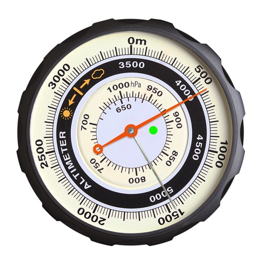
Displays altitude using a digital readout and an analog gauge. Tracks maximum height reached during use. Shows altitude accuracy and sensor quality. Utilizes GPS and barometric sensor for precise measurements.
View high-resolution NOAA nautical with depth data for U.S. coasts, Great Lakes, major rivers, Brazil, and global areas. Navigate using GPS, track vessel position, and set waypoints. Access tidal information and route planning tools.