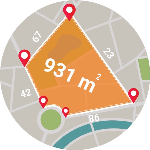
Calculate areas, plots, and distances using GPS technology. Draw and map regions on a map. Measure perimeter and of custom shapes. Save and share measurement data. Export maps in various formats.
Track and locate devices within a Circle. View real-time positions on a map. Share invitation codes to add contacts. Receive notifications when devices enter or exit designated areas. Set up geofences for specific locations.
Measure direction and elevation with a digital compass and inclinometer. Access real-time GPS and map data. Navigate using location-based routes. Share coordinates and track movement history.