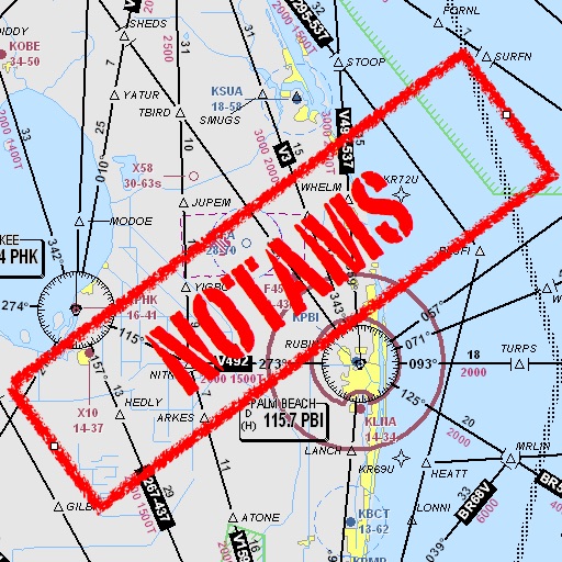
Assists pilots with interpreting NOTAMs, METARs, TAFs, and Area Forecasts. It decodes acronyms and contractions for both inflight and ground use. Users can search for details and weather reports.
View satellite maps of Europe with overlaid Flight Information Region boundaries. Tap to identify FIRs and their identifiers. Track real-time GPS location and see current FIR boundaries.
The Sullivan PDR Estimator offers a comprehensive solution for PDR needs, including hail, large dent, and door ding estimates. The app provides automatic document generation, VIN scanning, and multi-user functionality for job assignment and tracking.