
iTopography - Area Calculator
Vasileios Gkanis
Calculate polygon angles and map coordinates.
The app computes polygon angles and obtains map coordinates. It allows users to create projects, import DXF files, and email data.

Navigate with real-time coordinates and altitude
Display current direction, altitude, latitude, and longitude. Show real-time barometric pressure and movement speed. Track geographic location. Switch between "Classic" and "Sunset" visual themes with premium color schemes.
Showing 701–720 of 1,000 ranked alternatives.
Vasileios Gkanis
Calculate polygon angles and map coordinates.
The app computes polygon angles and obtains map coordinates. It allows users to create projects, import DXF files, and email data.


Shota Utsumi
Navigate and track your destination
Navigate to a destination by setting it via map or coordinates. View distance and direction from your current location. Works in airplane mode. Displays large, clear UI for easy reading on water or with device cases. No ads.



Kanad Vekariya
Navigate with 3D city views and real-time
Navigate using real-time 3D city views with realistic architecture and dynamic lighting. Explore landmarks and buildings with immersive street-level visualization. Rotate and tilt 3D scenes for better orientation.


Kosuke Ogawa
Find venues, tap to view info, launch
Map displays locations globally on a map. Search venues by keyword. Tap icons to view details. Launch or Swarm apps for more options. Show current coordinates and act as a GPS receiver.


keiji matsumoto
Display GPS information with large text.
The app displays GPS information using large text and voice. It shows latitude, longitude, altitude, speed, and direction.

Daichi Kato
Record routes and track speed
Track speed and altitude during outdoor activities. Record and visualize movement history on maps. Display data in charts for easy analysis. Save and review route details after completing activities.
国财 胡
Experience high altitude flight game.
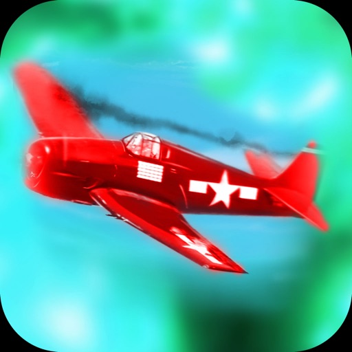
The app is a casual fighter shooter game where players control a fighter jet. Players can experience high-altitude flight and collect stars or new weapons to unlock more levels.


Loïc SENCE
Discover surrounding cities and distances.
The app displays the names and distances of surrounding cities. It uses geolocation data to show cities within a 0-30 kilometer radius.


omer yuksel
Record barometer data and view weather insights
Barometer measures altitude, local pressure, and sea level pressure using phone sensors. Records data for analysis with graphs and displays weather details like temperature and cloud cover.
Apps are ranked by functional similarity, category fit, rating confidence, and popularity.