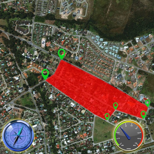
Calculate distances and areas using GPS coordinates. Place markers on a map to measure distances between points or total of a route. Delete markers by tapping them. Export results for further use.
Allows users to browse , search locations, save favorites, and use turn-by-turn . Premium subscription enables traffic-aware routing, activity recording, offline , and elevation map views for terrain clarity.
Measure distances by dragging a finger across the map to calculate route lengths. Center on current location with the locator button. Clear routes by shaking, using the trash button, or dragging again.
View 3D terrain with elevation details. Plan routes using detailed topographic . Access footpaths and natural features. Track progress with distance and elevation metrics. Share and routes with others.
Mark locations on maps by pinning or entering GPS coordinates. Organize saved places into folders and access favorite spots quickly. Navigate using integrated Google Maps or preferred mapping services.
Save current location and add new places on a map. Share locations with friends and calculate distances between them. View coordinates and track recorded routes for navigation without internet.
View maps of New City, including subway and airport routes. Navigate using real-time GPS without internet. Bookmark addresses for trip planning. Access top attractions and explore without data usage.
Create Pinboards to organize travel ideas, reservations, and destinations. Search for inspiration using AI. Collaborate with others to plan trips. Track expenses and manage itineraries in one place. Share Pinboards with companions.
Find routes with real-time traffic updates and voice-guided . View 3D aerial and use a digital compass for orientation. Plan trips with AI-generated itineraries and track progress toward destinations.
Create personalized itineraries by selecting destinations and activities. Add attractions, restaurants, and experiences. Save and share trips. Sync with Google Maps. Receive real-time updates on events and closures.
Rotate and zoom the 3D world map to explore locations in real-time. famous landmarks and global wonders with detailed descriptions. Access live camera feeds and location-based views to see current scenes around the world.
Panoramic 360-degree images for navigation. Pan around locations using GPS to find directions. Access live views and satellite maps for real-time positioning. Track routes and receive turn-by-turn guidance.
Lets users measure distances and areas on maps. They can plot radius areas with specified centres and sizes. Share maps as images to show routes, areas, or radii. Adjust colors and export map views.
View topographic, satellite, and road . Download official IGN for offline use. Find and follow hiking and biking routes across Europe. Record, save, and share routes online. Set waypoints and track progress. Navigate without cellular signal.