Measure direction and elevation with a digital compass and inclinometer. Access real-time GPS and map data. Navigate using location-based routes. Share coordinates and track movement history.
The app provides pilots with flight plan access, weather information, and airport charts. Users can view METARs, TAFs, NOTAMs, and winds aloft for airports, and access flight plan packages.
Provides a backup flight display with attitude indicator and heading indicator. Displays critical flight data during instrument failure. Allows pilots to monitor aircraft orientation and direction. Integrates with GPS for accurate navigation.
Manage altitude with customizable VNAV settings for precise control. Set altitude alerts and use ALT HOLD mode for minimal setup. Track vertical navigation parameters and adjust flight paths accordingly.
Displays altitude, coordinates, and speed with options for metric or imperial units. Shows accuracy and warns about signal issues. Offers aircraft mode with in feet. Compares current altitude with known values. No ads or data collection.
Connect with fellow students through peer interactions. Access resources and activities to prepare for time abroad. RSVP to events and Pre-Departure Orientation sessions. Track participation and receive updates.
The app provides instrument training for general aviation pilots. Users can manipulate map elements and observe instrument responses in Learn mode, or determine aircraft location based on instruments in Test mode.
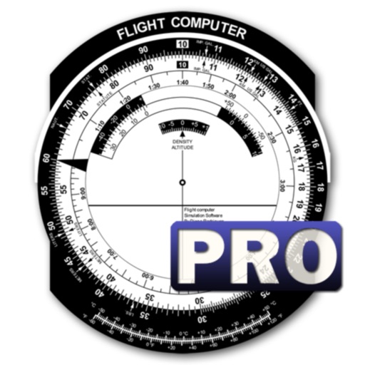
Calculate flight performance with wind and density altitude inputs. Perform fuel burn calculations and determine true airspeed. Convert units and view flight path diagrams. Save and share flight plans.
Record and visualize physical phenomena using smartphone or tablet sensors. Measure sound, motion, light, and temperature. Connect external sensors like micro:bit and Arduino for advanced experiments.