Apps Like USA States - Map Tracker for iPhone and iPad
Track and parks you've visited
Track visited and national parks with a customizable map. Add colors and markers to indicate progress. Share maps with friends and family. Set labels for unvisited locations. Organize travel history and exploration status.
by Pibardos LLC★ 4.4213 ratingsTravelFreeData updated 2026-09-06
Access news streams for national and international updates. Watch breaking political, business, and entertainment coverage. Receive real-time alerts for major events. Share articles and videos on social media platforms.
Explore attractions with an interactive map and detailed descriptions. Find museum hours, event schedules, and garden locations. Navigate the with turn-by-turn directions. Learn about historical landmarks and cultural exhibits.
Explore a detailed map of The Elder Scrolls V world, including Solstheim. Locate over 2500 locations such as Dragon Priest Masks, Followers, and skillbooks. Filter by 90 categories like Trainers and Ore Deposits.
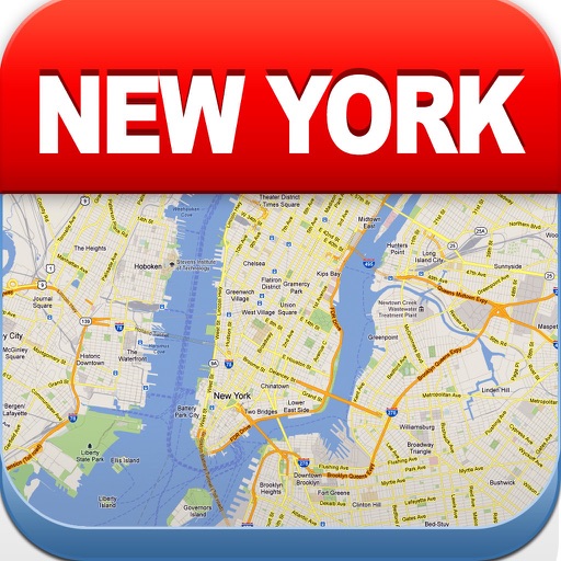
View maps of New City, including subway and airport routes. Navigate using real-time GPS without internet. Bookmark addresses for trip planning. Access top attractions and explore without data usage.
Determine UTM references, hemisphere, and WGS84 coordinates. Display device accuracy readings. Share location via Twitter. Includes USA UTM zone guide.
Create a log with itineraries, photos, and maps. Pin visited locations and places to visit. Track experiences and save keepsakes from countries visited. Share stories and maps.
Check flight levels with real-time maps and automated forecasts. Receive handcrafted email updates from experts. Set alerts for zones. Share forecasts with travel companions. Track flight-specific conditions.
Track travel goals by selecting to visit and those already . Include all 193 UN member states plus Vatican City, Taiwan, Palestine, and Kosovo. View progress on an interactive world map. Update status to reflect locations.
Create map journals by pinning locations and adding notes and photos. Track travel history with a heat map that shows visit frequency and can be customized in color. Choose from multiple map styles and use Street View.
Record routes by tracking footprints and generating animated roadmaps. Share experiences and locations. View daily footprints and revisit past journeys. trips by marking visited cities and countries. Retrace paths and review history.
The app allows users to bypass weigh stations across North America using an iOS device. It automatically detects weigh station locations and notifies drivers to bypass or pull-in.
Monitor vehicle movement, ignition status, and location in real time. Send commands like messages and route instructions. View tracks with speed, fuel data, and other metrics on a map.
Felipe Braunger Valio Desenvolvimento de Sistemas Ltda
Explore game locations with detailed maps
Explore game locations with detailed maps and save progress to organize your map. Find places, buildings, and collectibles. Some features require purchase.