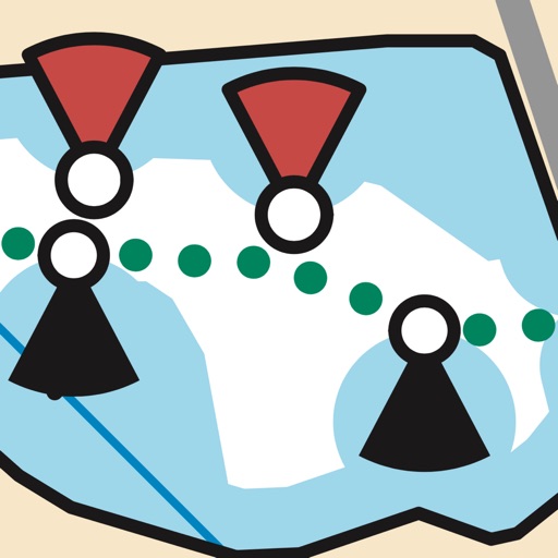
The app displays a map of the ACROSS Lexington pedestrian and bicycle routes, including points of interest and photos. It also shows 40 additional historic sites in Lexington with photos and information.
Track delivery mileage, freight temperatures, and real-time location. Send completed routes and view pay statements within the . Submit hotel, fuel, and miscellaneous expenses directly to the office.
Rock climbing and bouldering guides for Tasmania. View route descriptions, maps, and topos. Navigate areas like Freycinet, Mt Wellington, and Ben Lomond. Access over 3000 routes and 1500 problems.
View trails and routes for snowmobiling and ATV/UTV use. Locate points of interest and local events. Check closures and openings. Post updates and events through affiliated clubs. Navigate outdoor trails with real-time location tracking.