Access real-time data and control virtual . Tune global aviation radios or create custom radio aids. Practice navigation techniques and use as a training tool or supplementary instrument during flights.
Navigate using true north calibration. View latitude and longitude coordinates. Access location and elevation data. Display compass direction and geographic position.
Track vessels using real-time AIS data. View names, types, and destinations. Receive alerts when tracked vessels depart or arrive. Identify ships and monitor their movements globally.
GPS tracks current speed, distance, and altitude. Displays average and maximum speed. Shows speed limits in real time. Supports mph, km/h, and knots. Measures travel time and battery level. Works offline.
Customize dashboards with configurable gauges like speedometer, odometer, GPS altimeter, barometric altimeter, accelerometer, artificial horizon, compass, and elapsed time. Swipe to switch views and access real-time sensor data from iPhone or iPad.
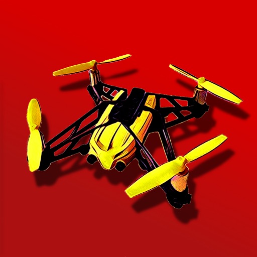
Control a Parrot Minidrone with on-screen speed settings for adjusting flight behavior. Enable banked turns for automatic rolling during yaw movements. Activate headless mode for simplified flight orientation.
View real-time images and forecasts for precise local updates. Track storms and hurricanes with alerts. Access detailed humidity data and multiple perspectives. Share images directly.
The app provides tools for sailors to take apparent bearings, showing the bearing taken, target course, and wheel correction. It also offers speed, real-time position, and assistance in determining wind direction.
Calculate by entering speed and air temperature. Support units for air temperature including °C, °F, and Kelvin, and speed in mph, km/h, m/s, and knots. Include a temperature converter for unit conversion.
Displays current with large, clear indicators. Shows both true and magnetic north. Features a minimalistic interface with a prominent display. Offers free navigation without additional costs.
Find fishing spots with of rivers, lakes, and streams. View property boundaries to stay legal. Locate access points, boat ramps, and local shops. Use the River Measuring Tool to track conditions and log fishing success.