

Apps Like Tracer Tag for iPhone and iPad
Tracer Tag screenshots
Ranked alternatives
Showing 61–80 of 1,000 ranked alternatives.

Odometer+
Zed Said Studio LLC
Track distance, save history, export CSV
Track distance using highly accurate GPS and location data. Save trips to history and export data as a .csv file. Runs in the background for continuous tracking. Suitable for road trips, biking, walking, and other motion activities.

Wain - وين
Qatar University QSTP-B
Intelligent map and location services application.
The app provides real-time traffic information, smart navigation, and updated parking details. It offers road-side assistance and information on events in Qatar.


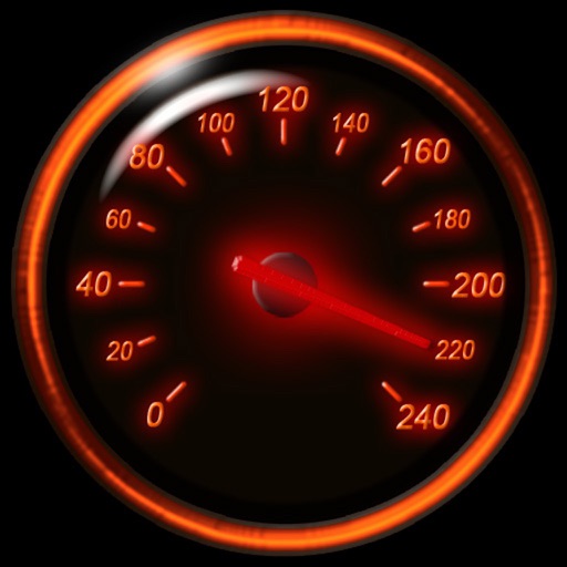
Speedometer Classic
FAPPS WORLD et Cie SCS
Track speed with GPS and unit auto-switch
Track speed using iPhone's GPS. Display speed in mph or km/h based on region settings. Show max and average speed. Choose between digital and analog display styles. Monitor speed during car, bike, running, or riding activities.



Number Location Phone Locator
Simon Dahl
Locate and track devices in real time
Track real-time locations of family members or devices using GPS. View positions on an interactive map. Set up custom safety zones and receive alerts when locations enter or exit these areas. Share data with selected contacts.


MD Companion
Leo Mesentsev
Find and mark metal locations
Navigate using real-time GPS tracking and map overlays. Mark and save locations of finds. Share coordinates with other users. Set waypoints and measure distances between points. Adjust sensitivity settings for different terrains.


USA Rest Stops
Innovative Software Technology, LLC
Find , welcome centers, and service plazas
Find along US highways, interstates, and state roads. Browse by state and route or view on a map. See facility availability and operating hours. Mark favorites and receive directions.

Live MBTA
Jonajo Consulting LLC
Find trains, view departures, track arrival times
Locates nearest station instantly. Displays real-time estimated departures for that station. Allows selection of any station to view its estimated departures.


Open GPX Tracker
Juan Manuel Merlos
Track routes, add waypoints, save maps
Create GPS traces with waypoints and save them as GPX files. Use offline maps for navigation without time limits or ads. Share track data and contribute to Street Map. Keep routes private and edit existing traces.

Tomstrails GPS Duo
John Spinks
Map coordinates displayed worldwide clearly.
The app displays map coordinates in multiple grid formats including British Grid, Irish Grid, MGRS, and UTM. It also shows Latitude & Longitude in decimal and sexagesimal notation for global use.


iStreets - Google Street View™
Apptility Limited
View locations, tap to explore view
Access View imagery directly on iOS. Search for locations using Places to view view, share, or get directions via Apple Maps. Drag the yellow peg man to navigate view and zoom in for detailed exploration.
How we rank alternatives
Apps are ranked by functional similarity, category fit, rating confidence, and popularity.