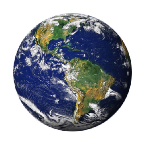
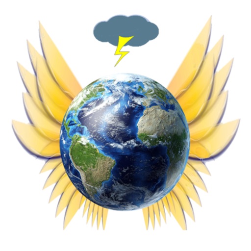
The app displays the battery status of an iPhone, iPod Touch, or iPad as a visual representation of Earth. As the battery depletes, the Earth graphic appears more shriveled, and a voice announces the percentage.
Record student evaluations, observations, and notes. Store and organize classroom activities and work samples. Generate printable reports and share updates with parents.
Access real-time geospatial data for locations including weather, soil, vegetation, air quality, elevation, and more. Retrieve official information from sources like NASA, USDA, and USGS. Track farming details like planting dates and irrigation.