Monitor vehicle locations in real time with exact addresses and travel details. Receive instant alerts for geo-zone entries, speeding, theft, and SOS emergencies. Access historical data and generate reports on driving hours, distance, and fuel usage.
Vehicle location, speed, and engine status in real time. Receive instant notifications for speeding, unauthorized use, battery disconnection, and panic alerts. View historical route data and vehicle status updates.
Monitor location with real-time updates. Set custom distance and time thresholds for alerts. Receive instant notifications if drifts beyond safe limits. Adjust settings to control sensitivity and response actions.
The app records and exports user trips for geo-tagging or trip management. It displays live paths on a map and provides details like speed, distance, and altitude.
The app provides continuous audible monitoring of the user's current speed. It tracks speed using the iPhone's GPS and plays associated sound effects and changes color when speed enters defined ranges.
Display real-time speed with a digital interface and set speed alerts. Track routes on a built-in map, save trip history, and export tracks in GPX format. Switch between light and dark themes.
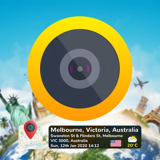
Add time stamps, GPS coordinates, and exact addresses to photos and videos instantly. Enable grid, aspect ratio, switch, flash, focus, and timer settings. Store user locations automatically and reverse-geotag addresses.
Track GPS devices in real time with live updates. Set geofences and receive motion detection alerts. Access Streetview for location details. View device history and manage settings remotely.
Land measurement tools allow precise and distance calculations on maps. Coordinate capture enables adding multiple coordinates to maps. Map exploration includes zooming, panning, and layer management.