

Apps Like Geotag Map Camera - GPS Camera for iPhone and iPad
Ranked alternatives
Showing 21–40 of 1,000 ranked alternatives.

Compass & Altimeter
明力 王
Navigate with precise location data
Measure geographical orientation with a precise . Display longitude, latitude, altitude, weather, and magnetic field data. Record location points and view saved travel history.


Altimeter - Altitude & Compass
Enacti Ventures Private Limited
Track elevation, location, and weather
Track elevation and atmospheric pressure with and barometer. Use compass for direction based on satellite location. Access weather updates and speedometer. Log steps with pedometer. View maps and use binoculars for scouting.


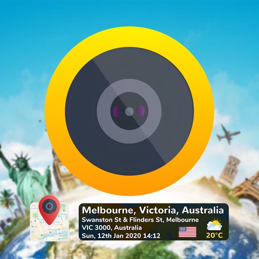
GPS Map Camera & Timestamp Cam
Milan Savaliya
Tag timestamps and locations to photos
Add time stamps, GPS coordinates, and exact addresses to photos and videos instantly. Enable grid, aspect ratio, switch, flash, focus, and timer settings. Store user locations automatically and reverse-geotag addresses.

Timestamp Camera Basic
玉彬 陈
Add real-time watermarks to media.
The app adds real-time watermarks to photos and videos, including current time and address. Users can customize timestamp formats, fonts, positions, and add custom text or logos.
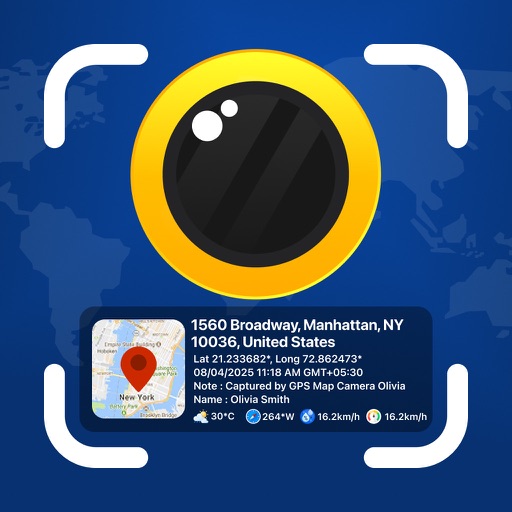
GPS Map Camera - Geotag Photo
Sejalben Nimeshkumar Savaliya
Photos and videos with GPS
Photos and videos with real-time location, date, time, latitude, longitude, altitude, and weather data. Capture timestamps during拍摄. View map-based location pins for each media file. Export geotagged files with embedded metadata.

GPS Stamp Camera: Geotag Photo
Chirag Gabani
Tag photos with location stamps
Add geotags to photos using GPS data. images with location coordinates from camera or gallery. Choose map type and customize time format. View geotagged photos on a map. Export or share tagged photos with location details.


The Best Compass & GPS
Zipo Apps Ltd.
Track location with GPS and MGRS coordinates
Determine location using GPS and MGRS coordinates. Display latitude, longitude, and altitude. Show 16 main directions. Operate offline. Suitable for camping and outdoor navigation.
Timestamp - GPS Map Camera
Zipo Apps Ltd.
Geotag photos and track journeys
Capture photos with automatic GPS location tags. Add customizable live location watermarks. Geotag adventures and share photos with embedded location data. Track journeys and view map-based photo locations.

Timestamp Camera: GPS Map
Jasmine Rakesh Patel
Capture photos and videos with real-time timestamps
Capture photos and videos with real-time , date, and location stamps. Add live maps, altitude, and addresses to media. Edit timestamps and view geolocation data. Share stamped media with precise metadata.
My Altitude
Dayana Networks Ltd
Location, altitude, and pressure data.
The app displays current latitude, longitude, and altitude using GPS. It also shows barometric pressure, water boiling point, and weather information.

Timestamp Camera: Time & GPS
Practical Apps from Sweden AB
Capture photos with , date, and GPS
Capture photos with automatic , date, GPS coordinates, and location stamps. Edit timestamps, add notes, and share photos with location details. Sync with maps for precise geotagging.


Speedometer Speed Box Trip Log
Hans Schneider
Track , distance, and direction
Track , distance, and direction with a digital and analog . Set custom distance values. Switch between portrait and landscape modes. Display in MPH, KM/H, and KNOTS. View altitude, maximum , and average with the Pro Pack.
How we rank alternatives
Apps are ranked by functional similarity, category fit, rating confidence, and popularity.