Track ships in real-time with vessel details, routes, and estimated arrival times. View port arrivals and departures. Plan coastal trips using maritime data. Receive updates on new ships entering ports.
Find free sites without internet. View driving distance and time from current location. Explore user-sourced sites with variable ratings. Save favorites and navigate using map features.
Track aircraft positions in real-time using ADS-B data. View live paths, altitudes, and speeds. Search for specific planes by identifier. Receive alerts for nearby flights and airspace changes.
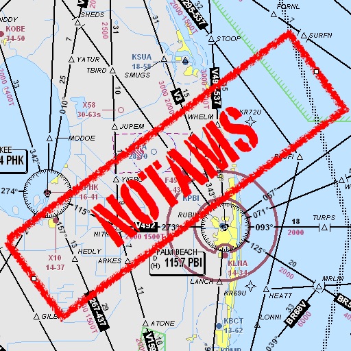
Assists pilots with interpreting NOTAMs, METARs, TAFs, and Area Forecasts. It decodes acronyms and contractions for both inflight and ground use. Users can search for details and weather reports.
Buy transit tickets for Québec City’s public transit network using a credit card. Create an account to purchase tickets online. Activate tickets via the before boarding. Display e-tickets to drivers when boarding.
Play as a flight , manage cabin duties, and ensure passenger safety. Wear a uniform, give safety instructions, and signal the pilot for takeoff. Interact with passengers, handle in-flight requests, and complete pre-flight preparations.
Monitor boat location with real-time alerts when it moves outside a set radius. Adjust and recalculate the monitored area precisely. View location history as a series of points. Connect two devices for remote monitoring.
Access real-time data including METAR, TAF, and NOTAM reports for 50,000+ airports. View satellite maps and decoded information. Filter nearby airports by runway length and METAR/VFR availability. Save favorites and organize into groups.
Track tides and currents for over 12,500 global locations without an internet connection. View tidal data and current details. Save and access information offline. No ads or in- purchases required.
Displays current location using GPS on a high-resolution topo map. Includes an index to over 1,000 locations in Utah’s Central mountains. Allows users to navigate trails, view elevation data, and access detailed route information.