Track precise location with Decimal Degrees, DMS, UTM, and MGRS formats. Access topographic maps and route planning. Set waypoints and measure distances. Share coordinates via email or messaging. Sync with GPS devices for real-time navigation.
Track flights in real-time with flight details, aircraft models, and live positions. View flight paths, altitudes, and speeds. Receive notifications for takeoffs and landings. Access historical flight data and aircraft information.
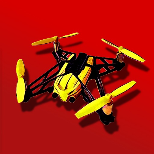
Control a Parrot Minidrone with on-screen speed settings for adjusting flight behavior. Enable banked turns for automatic rolling during yaw movements. Activate headless mode for simplified flight orientation.
The app provides instrument training for general aviation pilots. Users can manipulate map elements and observe instrument responses in Learn mode, or determine aircraft location based on instruments in Test mode.
The app calculates fuel uplift and limiting weight for aviation. It can determine limiting mass, allowable fuel, or payload, and offers crosswind calculations with METAR information.