View celestial objects using augmented reality. Point device at sky to identify stars, planets, and constellations. Access detailed information and historical data. Sync with GPS for accurate positioning. Explore 3D models of celestial bodies.
View real-time radar and satellite maps to track storms and clear skies. Receive rain alerts and access hourly forecasts. Get local updates using location services. Display on home screen with a widget.
Check current and hourly weather forecasts. View real-time temperature. Access an 8-day tide schedule. Watch live shore cams from City and nearby beaches. See local news updates. Search for nearby restaurants and stores.
Track sun rise and set times, moon phases, and UV index. Plan activities based on lighting conditions. Set reminders for optimal photo or video times. Sync with calendar for scheduled events. Share location-based light data with others.
Track based on location, solunar theory, and Maori . View 24-hour Solunar Clock with indicators for , sun, moon, and tide . Check moon phase and receive alerts for optimal periods.
Check current weather with customizable widgets on Home and Lock screens. View hourly and 14-day forecasts. Access real-time UV Index and Air Quality Index. Explore interactive 3D Earth globe with Doppler radar maps and precipitation data.
The app provides tidal information for Queensland ports, including low and high tide times and heights. It also displays sunrise and sunset times, current tide height, and time to the next tide.
The app provides current surf conditions, including wave height, wind, weather, water temperature, and tide. Users can view live surf cams and get daily surf reports from experts.
View tide charts, wind direction, and swell alerts. Check 7-day forecasts with detailed wave height and period data. Set custom alerts for changing conditions. Track real-time reports and share forecasts with other users.
The app provides tide times for 74 Irish locations, functioning offline without a signal or data. It includes an interactive tide graph, location search, and selected.
Access real-time weather data including METARs, TAFs, and NOTAMs. View weather radar and decoded reports for quick briefings. Set up widgets and watch complications for updates. Get live TAF summaries for immediate forecast insights.
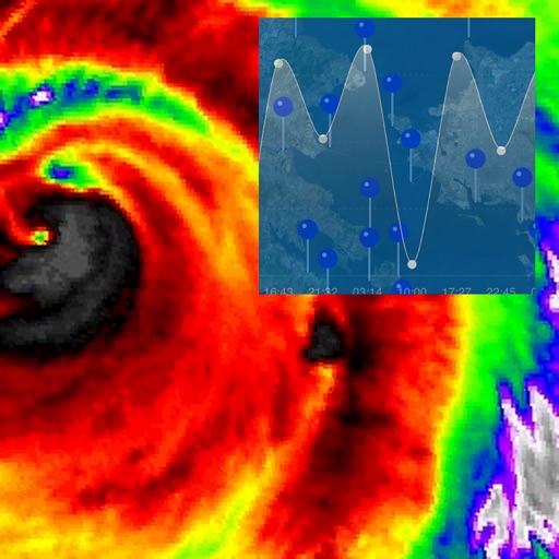
Track hurricanes, cyclones, and tropical storms with interactive maps and real-time updates. View NOAA forecasts, satellite imagery, and historic storm data from 1851. Set weather alerts and receive storm warnings directly.
Provides hyper-local current and future conditions. Users view data on interactive maps and glanceable tables. They access real-time ocean drone data for precise forecasts. Track temperature, wind speed, and wave height.
Access real-time sea surface temperature maps, high-definition satellite imagery, and marine weather . Track water color, currents, tides, and moon phase. Mark and save GPS locations for temperature breaks and color barriers.