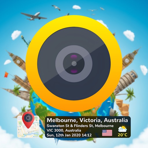
Capture photos with embedded GPS coordinates and timestamps. View live maps and customize location details including addresses and map types. Edit geotag settings and share tagged images with precise location data.
Capture photos with embedded GPS coordinates, date, and time stamps. View map overlays and location details directly in images. Share geotagged photos with precise timestamps and location data.
The app displays current heading, altitude, and coordinates with a live map. It includes an in-app camera to capture photos with location data, which can be saved or shared.
The app allows remote control of a camera from a smart device, including taking photos and adjusting settings. Users can view and store photos from the camera onto their smart device and share them to social networking services.
The app records the user's geolocation. Recordings can be shared as KML files via mail or sent to ShutterSnitch to geotag JPEG photos matching the capture time.
The app integrates network cameras and environmental sensors with cloud recording and notification services. It allows monitoring and control of places from any location.
The app provides film permitting contact details for local government councils, government authorities, and Regional Offices across New South Wales. It offers quick access to film friendly local filming protocols and iconic Sydney locations.