Apps Like Find Me: GPS Coordinates + for iPhone and iPad
Get coordinates with GPS accuracy
Display and coordinates using iPhone GPS. View precise location data instantly. Features a clean interface for quick reading of coordinates. No unnecessary features or tabs.
by Jason Attard★ 3.721 ratingsNavigation$2.99Data updated 2026-11-14
Scan networks, detect issues, and troubleshoot connections
Scan local devices to identify addresses and names. Detect Bonjour/DLNA services. Perform wifi diagnostics to troubleshoot connectivity issues. Locate devices on LAN. Check server status and performance.
Navigate using a or true . Set direction references and adjust settings. Track altitude and barometric pressure changes. Measure electrical fields with the teslameter. Use the flashlight and Morse code transmitter for signaling.
Navigation provides GPS tracking, map navigation, and route planning. Includes tools, field manuals, and live conflict updates. Users can access guides, track locations, and receive real-time news.
Display current location using GPS, GALILEO, and GLONASS. View position on various map layers. Import and export KML files. Navigate with coordinate systems. Track movement during outdoor activities.
The app displays device orientation to magnetic fields. It provides location coordinates, course, speed, altitude, weather information, date, time, and map views.
Land measurement tools allow precise and distance calculations on maps. Coordinate capture enables adding multiple coordinates to maps. Map exploration includes zooming, panning, and layer management.
The app provides altitude readings using GPS, Aster, or barometric data. It functions offline for wilderness adventures and includes features like a speedometer, step counter, and flashlight.
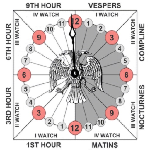
Track prayer times based on time calculations. Adjust for location using GPS or manual input of coordinates. Display times in 12-hour format starting at evening. Include historical context about ancient Judean timekeeping methods.
Track location, speed, and altitude with real-time GPS data. Use a digital compass for direction. Access weather information and tag locations. Share coordinates and view maps.
Find using GPS . Search for areas and retrieve accurate latitude and longitude. Switch between standard, satellite, and terrain map views. Calculate area measurements. Share via email or messaging.
View real-time GPS location and track movement. Access marine charts, weather forecasts, and tide information. Plan routes with smart routing features. Set and monitor alerts. Share coordinates and waypoints.
Check current using internal GPS and Wi-Fi data. View latitude and longitude in decimal degrees, degrees decimal minutes, and degrees minutes seconds. Suitable for trips, sports, geocaching, and solo travel.
Navigate with real-time location details including , coordinates, speed, altitude, and compass. View an orientation-focused map that expands to full screen. Tap and hold to search for addresses or coordinates. Share location instantly via tap.
Track real-time and share it with friends. Copy coordinates and perform actions on . land area using GPS and calculation tools. Find routes with distance and direction calculations.
Find and share locations with a map interface. Pin locations to view coordinates or addresses. Select transportation options to share real-time location updates. Quickly check current location or specific destinations with minimal clicks.