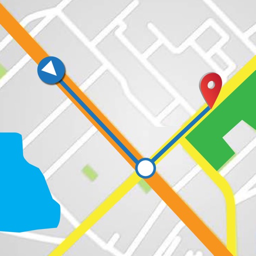
The app uses GPS and compass to locate users, gathering environmental information. It speaks relevant details about surrounding places and street crossings, assisting with navigation and daily life.
by MIPsoft Oy★ 3.76 ratingsNavigationFreeData updated 2026-10-13
Provide maps for navigation without internet connection. Zoom into detailed vector maps with continuous updates. Locate points of interest and plan routes. Avoid roaming charges by using local data. Save data usage with functionality.
The app provides navigation information using voice synthesis during sailing races. It announces direction, speed, bearing, distance, and course made good to the next mark when a route is activated.
Navigate Greater Melbourne with detailed street maps and over 2000 new listings. Access updated Ballarat maps not available in print. Search for addresses, businesses, and landmarks. Sync with Melway Street Directory for accurate local information.
Determine direction to using GPS and compass. Display distance to . Show longitude, latitude, and address. Requires GPS permission for accurate calculation.
The app helps users find nearby places like restaurants and shops using AR view for directions. It allows saving keywords, setting search points, and sorting results by distance.
Search destinations, get shortest routes, navigate
Find locations and plan routes using a 2D map. Search for points of interest or destinations. View the shortest route on the map. Navigate with a simplified interface.
Provides navigation with detailed vector maps that support zooming at any level. Includes location-based points of interest and real-time updates without requiring an internet connection. Allows users to save data plans by avoiding roaming charges.