
7Starss Tracking
Imran Junnaid
Track locations in real time
Track locations in real-time using GPS. View maps with turn-by-turn directions. Save and share trip history. Set arrival alerts and customize route preferences.

Track routes and log GPS data
Track location using GPS or external receiver. Log movement trails in background. View maps with Apple Maps and Google Maps. Convert and view GPS data. Requires GPS-enabled device and compatible external receiver.
Showing 61–80 of 1,000 ranked alternatives.
Imran Junnaid
Track locations in real time
Track locations in real-time using GPS. View maps with turn-by-turn directions. Save and share trip history. Set arrival alerts and customize route preferences.

GK Technology, Inc.
Track GPS locations and visualize maps
Survey points, lines, and polygons with GPS tracking. Log full GPS data for fields. Create quickmarks during surveys. Visualize data in map view. Use internal or external GPS devices.

Saga Systems Ltd
Explore maps, find locations, track GPS
View topographic maps of New Zealand's . Locate current position via GPS. Search for place names. Access map data offline without cellular coverage. Display detailed terrain and geographical features.

Musa Mukoma
Track vehicles, monitor routes, and share locations
Track vehicle movement with real-time GPS updates. View and save travel routes. Set destinations and receive turn-by-turn navigation. Monitor speed and fuel levels. Share location with contacts. Sync with maps for accurate directions.

Apglos BV
With GNSS and map terrain
Allows users to perform land surveying with centimeter-level accuracy using an external GNSS receiver. It provides measurement tools, data recording, and map visualization. Users can save and export data.

Sinoway International Industrial Limited
Track people and devices easily.
The app provides GPS position tracking for concerned people and devices. It logs date, time, GPS data, location address, and offers routes using Apple and Google Maps.

Sam Mukunya
Track vehicles, monitor routes, and manage trips
Track vehicle movement in real time with GPS. View location, speed, and route history. Set geofences and receive alerts. Access maps and navigation for global travel. Share vehicle location with others.

NIMAE TECHNOLOGIES LLP
Track vehicles with GPS and maps
Track vehicle locations using GPS technology. Generate detailed reports and maps. Install tracking devices in vehicles to collect and transmit data via cellular and satellite networks. Monitor real-time movement and historical routes.

Jose Ricardo Ley Alvarez
Track assets with GPS real-time
Track and manage vehicle locations in real time using GPS. View maps, set geofences, and receive alerts for movement or tampering. Export logs and share location data with authorized users.
Jason Attard
Track car with GPS
Track parked car using GPS coordinates. View latitude and longitude details. Quickly locate spot while moving. Display precise data without extra features.

MoviliXa SAS
Find routes and track your trip
Find optimal routes using integrated transportation systems in . View bus schedules, stations, and maps for , metrocable, metroplús, and tram. Access real-time GPS to locate nearby stations.

EARTH CHANGE OBSERVATION SYSTEMS, LLC
Navigate trails and track your route
Navigate trails and routes with detailed topographic maps. Mark favorite locations and save custom trails. Get real-time elevation data and weather updates. Share GPS coordinates with others.

Gohel Prakashbhai
Areas, track routes, and navigate efficiently
Calculate distances and areas using GPS. route lengths and track movement. Access GPS Camera, Compass, and Speedometer for navigation. View Satellite, Normal, Terrain, and Hybrid maps. Locate nearby points of interest and monitor live positions.

Viavi Solutions, Inc.
Simulate routes and waypoints
Create static waypoints and dynamic routes for avionics testing. Simulate GPS signals for receiver validation. Upload daily almanac data automatically. Support single or dual GPS antenna setups. Configure up to 10 channels.

Vijay Bhaliya
Capture photos with GPS coordinates and maps
Capture photos with embedded GPS coordinates and timestamps. View live maps and customize location details including addresses and map types. Edit geotag settings and share tagged images with precise location data.

Akhil David
Track vehicles and monitor routes
Track vehicle locations in real time using GPS. View and save travel routes. Receive alerts for speed, location changes, and battery status. Share vehicle location with others. Sync with maps for navigation and route planning.

Harald Schlangmann
GPS navigation tool for sailing companion.
The app provides GPS-based navigation and sailing assistance. It displays heeling, racing rules, and navigation data, with integrated Google Maps and a trip recorder.

LPL SOLUCOES EM TECNOLOGIA LTDA
Track devices with GPS location
Manage GPS tracking devices by viewing real-time location data, setting geofences, and receiving alerts. Control device settings, view historical routes, and export logs. Sync with multiple devices and receive notifications for movement or tampering.
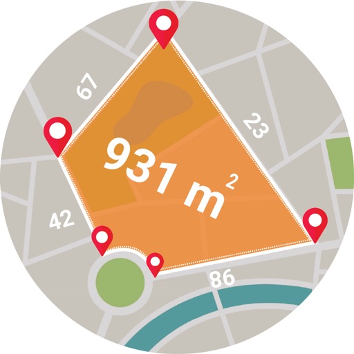
Muhammad Asad Khan
Measure areas and distances with GPS
Calculate areas, plots, and distances using GPS technology. Draw and map regions on a map. Measure perimeter and of custom shapes. Save and share measurement data. Export maps in various formats.

Apps are ranked by functional similarity, category fit, rating confidence, and popularity.