Locates nearby using built-in maps and location services. Displays mosque addresses and details. Allows users to find and choose the nearest mosque for prayer.
by Faisal Sultan★ 4.012 ratingsNavigationFreeData updated 2026-09-08
Find homes for sale with MLS listing details, photos, and GPS directions. Use augmented reality to view properties by aiming your device. Refresh information every 15 minutes. Filter searches by city, zip, or address. Draw custom areas.
Navigate subway system with real-time route planning and offline maps. View English and Chinese station names. Access GPS navigation and street maps. Plan trips with accurate metro line information.
View nearby towers on a map using current location. Tap on towers to see detailed information including signal strength, carrier, and ID. Optimize mobile network performance by identifying optimal locations.
Track individuals' locations using their number, contact list, or manual input. Send an SMS request to obtain precise GPS coordinates displayed on a map. Monitor real-time movement and view historical location data.
Provides detailed subway maps with English and Chinese language support. Displays real-time metro lines and stations. Includes route planning, GPS navigation, and offline functionality. Offers street maps for navigation.
Explore destinations and filter attractions by city
View top attractions on a map with brief descriptions. List sites by distance from the map center. Filter by city, category, or keywords. Save favorites with a star icon. Add custom markers for locations like hotels or parking.
Locate bus stops and view accurate departure times for routes. Search for line information, stations, and Rav-kav top-up locations. Get navigation directions using public transportation in Israel.
Track real-time locations of people or devices with accurate GPS data. Set personalized alerts and geofencing boundaries. Share location updates with contacts. View historical movement data and manage tracking settings remotely.
Provides detailed subway maps for with BTS and MRT lines. Includes route planning, GPS navigation, and street maps in English and Thai. Works offline. Displays all stations and future expansions.
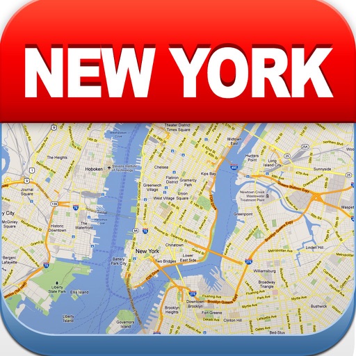
View maps of New City, including subway and airport routes. Navigate using real-time GPS without internet. Bookmark addresses for trip planning. Access top attractions and explore without data usage.
Track your car's location in real-time to locate it easily. Monitor speed live while driving. Receive alerts for speed cameras to avoid fines. spots and receive notifications when your car is moved.
The app provides an up-to-date subway map of Singapore, working offline with a route planner and GPS. It includes English and Chinese language options and street maps for every station.
Check with real-time updates. Find trains between stations and view detailed route information. Access NTES data for accurate schedules and delays. Track locations and receive notifications for changes.
Find current fuel prices in West Coast regions. Locate fuel stations with maps and driving directions. Track carbon reduction with CleanDrive reports. Check vehicle compatibility and fuel specifications. Access support in English and Spanish.