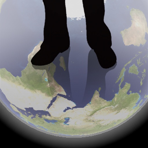
The app shows a transparent view of the earth, allowing users to see the other side of the world beneath their feet. It displays the positions of major cities on a reversed blue marble through a camera overlay view.
Find nearby bus stops with maps and distance information. View list of campus bus stops sorted by proximity. Check arrival times and next bus schedules. Track real-time bus locations and receive updates on departure times.
Determine current location with GPS coordinates, altitude, and accuracy. Identify street, city, county, state, and country. Share position via email, text, Twitter, or Facebook. Copy address or coordinates to share elsewhere.