

Apps Like Geo converter for iPhone and iPad
Convert coordinates to map locations.
The app displays a location on a map using latitude and longitude coordinates. Users can also find the latitude and longitude of a point on the map.
Geo converter screenshots
Ranked alternatives
Showing 721–740 of 1,000 ranked alternatives.

NPP Near
KAZUYUKI TAJIMA
Distance to nuclear power plants.
The app displays the distance to nuclear power plants from a selected point. Users can view a map showing zones around power plants and selected locations, with options for different distance units and map search functionality.

MapTrace+
Nasir Jeevanjee
Track terrain and analyze coordinates
Trace paths on maps to analyze elevation, distance, gradient, and bearing. View elevation and grade profiles of traced routes. Calculate area of arbitrary paths. Use satellite or default map views for terrain study.


ezTransit Dallas DART
Zbynek Riha
Dallas DART trip planning offline.
The app provides offline trip planning for the Dallas DART public transport system. Users can find routes with departure and arrival times, view details, and see them on a map.

KYOTO Transit Planner
Jorudan Co.,Ltd.
Kyoto transit routes, fares, and times.
The app provides route searches for trains, buses, and walking in Kyoto. It displays fares, travel times, and real-time transit information for running buses.


Geo Timestamp : GPS Map Camera
Followal Infotech LLP
Capture photos with GPS, date, and time
Capture photos with embedded GPS coordinates, date, and time stamps. View map overlays and location details directly in images. Share geotagged photos with precise timestamps and location data.

Seattle Incidents
Soapbox Software, LLC (PA)
Seattle incident information at a glance.
The app displays current traffic, fire, and medical incidents in Seattle on a map and in a list. Users can view details for each incident, including location and responding units.


HospitalLocators
Randolph W Duerr
Find hospitals nearby and more.
The app finds hospitals based on current location, providing distance and directions. It also locates hospitals by state and city, allowing users to call or get directions.


Houston Incidents
Soapbox Software, LLC (PA)
Check , plan your route
View a map displaying all current in with custom pin icons and your location. Access a list of sorted by time. Get real-time updates on traffic, fire, and medical events to plan routes effectively.

aSmart HUD 3D +SpeedCams
Vitalijs Lennojs
Car dashboard with map and cameras.
The app displays current speed, trip data, and weather forecasts. It also shows speed camera locations and provides a 3D trip log graph.



GPSts
ishii yuuta
Convert GPS coordinates with compass.
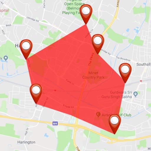
The app converts UTM/MGRS coordinate values obtained using iPhone GPS. It includes a compass and altimeter for user support.
Berkeley Map
Aaron Jubbal
Find locations, plot on map, get directions
Navigate using a detailed map of , CA and UC campus. Search or browse locations via the legend and plot them on the map. Tap markers for directions or descriptions. View local events through the tab bar and scroll the calendar to see dates.

How we rank alternatives
Apps are ranked by functional similarity, category fit, rating confidence, and popularity.