
CoordCalc
Justin Graham
Calculate distance and bearing between points.
The app calculates distances and bearings between two points using latitude and longitude. It can also determine a final position from a starting point, distance, and bearing.

Search easter eggs with GPS coordinates.
The app searches for easter eggs using GPS coordinates. It displays the distance to the target and a visual warm/cold indicator.
Showing 581–600 of 1,000 ranked alternatives.
Justin Graham
Calculate distance and bearing between points.
The app calculates distances and bearings between two points using latitude and longitude. It can also determine a final position from a starting point, distance, and bearing.

Nasir Jeevanjee
Track terrain and analyze coordinates
Trace paths on maps to analyze elevation, distance, gradient, and bearing. View elevation and grade profiles of traced routes. Calculate area of arbitrary paths. Use satellite or default map views for terrain study.
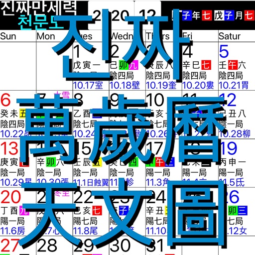
YOUNGCHANG KOH
Calendar with sun and moon positions.
The app displays Gregorian calendar dates alongside lunar month/day numbers, sexagenary day units, and star letters. It also shows the 24 solar terms, new/full moon times, and eclipse occurrences.



Manning NavComp, Inc.
iPhone GPS tracker for RASTRAC account
The app turns an iPhone into a GPS tracker for use with a RASTRAC Live Tracking web account. It tracks device movements based on distance, speed, and turn detection, and sends statuses and form messages.

Christopher Lim
Pray with and novenas
Pray the with customizable bead counting and audio guidance. Access St. Jude novenas, Divine Mercy devotions, and prayers to Holy Intercessors. Set prayer reminders and track prayer history.


XIAOLEI LI
Track speed and distance in real time
Track speed in MPH and KPH with real-time updates. Monitor total distance traveled using odometer features. Utilize GPS for accurate speed and location data.


Intellims Limited
Track work hours with GPS coordinates
Tracks work hours using LBS/GPS coordinates to record clock in/out times. Generates attendance and payroll timesheets based on location data. Provides proof of work hours with timestamped logs. Syncs location data to create accurate timesheets.


Suphawadee Yaprasat
Map, , and manage land areas
Land measurement tools allow precise and distance calculations on maps. Coordinate capture enables adding multiple coordinates to maps. Map exploration includes zooming, panning, and layer management.

Apps are ranked by functional similarity, category fit, rating confidence, and popularity.