Land, fields, and property using GPS or manual input. Place markers on the map or walk boundaries to calculate , distance, and perimeter. Choose units like square meters or square feet. Save and share measurements.
Perform searches using Google Lens, Yandex, TinEye, and Bing. Upload images from the camera or gallery to find similar images, identify objects, and explore digital content. Search across multiple platforms simultaneously.
View and set verse wallpapers with watermarked art. Access quotes with text and images. Explore categories like love and inspiration. Share quotes and save favorites. Sync with Apple Health.
GPS Speedometer tracks real-time speed using GPS. Users can monitor current speed and record maximum speed during activities. The allows selection of units and displays speed data on a map.
Receive current coordinates and manage location data. Locate nearby places based on coordinates. Share coordinates via SMS, email, or copy-paste. Search for nearby locations using coordinate input.
Locate public water with an interactive map showing over 24,000 points. Use GPS navigation to reach selected locations. Report real-time status of water points.
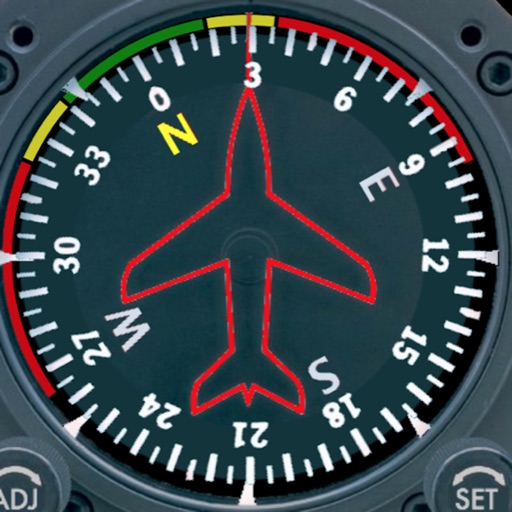
Displays a photorealistic -style indicator with both analog and digital readouts. Users can toggle rotation lock, simulate the instrument indoors, and view improved graphics. Supports latest iOS versions and includes bug fixes.
The app provides a procedure to adjust tire pressure when the tire temperature is not in a cold state. It addresses changing weather conditions and real-world driving scenarios.
Monitor vehicle and asset locations in real time using GPS. View precise coordinates and track movement history. Receive location updates automatically. Generate historical playback of tracking data.
Post fishing catches with photos, GPS coordinates, and additional details. Follow other to exchange tips and share experiences. Bait shops, boat captains, and guides can engage with local .