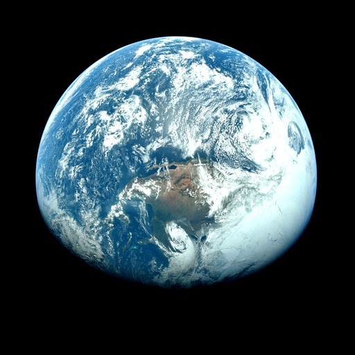
The app displays near real-time images from NASA satellite instruments for any location on Earth. Users can observe weather and other conditions by moving a cursor on a world map to view NASA's LANCE data.
by Kelly Technology Inc.★ 2.427 ratingsWeather$3.99Data updated 2026-10-11
Monitor live solar imagery from NASA's Solar Dynamics Observatory. Track solar flares and coronal mass ejections. Receive alerts and forecasts for northern and southern lights. View real-time Kp index predictions and visibility maps.
View satellite imagery and time-lapse data to analyze features. Compare images using an A/B slider. Visualize environmental data like air pollution, vegetation, and sea ice. Explore unfiltered satellite views from the ESA’s Sentinel-2 satellites.
Access real-time data with high-resolution radar and satellite imagery. View current conditions and forecasts updated hourly. Add and save favorite locations. Use integrated GPS for location-based alerts and tracking.
Weather "View current conditions, forecasts, and radar maps. Set location-based alerts. Customize notifications for severe weather. Share forecasts with others."
Access real-time space news and the Astronomy Picture of the Day. Explore NASA's database for research and mission details. View Mars imagery from NASA rovers and track the International Space Station's location.
View current updates multiple times per hour. Access high-resolution satellite imagery and 250-meter radar. Track severe with future radar predictions. Add and save favorite locations. Use integrated GPS for location-based forecasts.
Check current weather, wind speed, air quality, and sea conditions. View radar images and meteograms. Customize widgets. Access live webcams. Set alerts for severe weather. Track forecast changes in real time.
The app provides current weather conditions updated multiple times per hour. It offers daily and hourly forecasts updated hourly, with access to station content and severe weather alerts.
Explore by rotating, tilting, and zooming a 3D globe. Select locations to view topographic and gravity data. Pinpoint key features like volcanoes, craters, and spacecraft landing sites.
"View current , hourly forecasts, and daily predictions. Access hyperlocal real-time updates. Customize alerts for severe . Track sunrise and sunset times. Share data with others."
The app provides 250 meter radar with future radar and high-resolution satellite imagery. It offers current weather updates, daily and hourly forecasts, and severe weather alerts from the National Weather Service.
Access real-time weather data with high-resolution and satellite imagery. View current conditions and forecasts updated hourly. Add and save locations for personalized tracking. Receive storm alerts and localized station content.
Monitor activity and space weather events. Receive alerts for potential hazards. Track radiation levels and geomagnetic storms. Provide safety recommendations for travel and infrastructure.
View current weather updates multiple times per hour. Access high-resolution satellite imagery and 250-meter radar. See future radar for severe weather movement. Add and save favorite locations. Use integrated GPS for location-based forecasts.
The app provides breaking news alerts for Greenville and surrounding areas. It offers local news, weather conditions, hourly updates, 7-day forecasts, and an interactive radar for storm tracking.
The app shows real-time UV index data for the current location. It uses satellite data to inform users about UV radiation levels and potential skin aging effects from UVA and UVB rays.
Access real-time weather data with high-resolution radar and satellite imagery. View current conditions and forecasts updated hourly. Add and save favorite locations. Track severe weather movement with future radar.