The app provides a London Tube map that does not require an internet connection. It includes live alerts for train delays and a GPS locator for the nearest station or line.
by KICK Design Inc★ 5.01 ratingsNavigationFreeData updated 2026-10-11
Plan routes to popular landmarks like the Reichstag building and Brandenburg Gate. View and S-Bahn maps. Use a journey planner with offline functionality. Get estimated travel times and step-by-step directions.
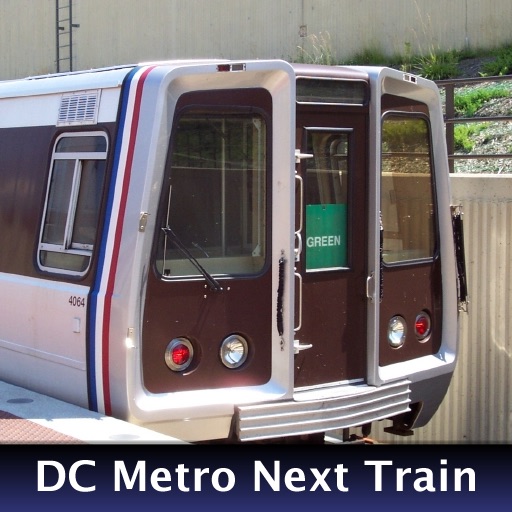
The app provides real-time train arrival information for Washington, DC Metro stations. Users can find their station and see when the next train will arrive, eliminating the need to wait on the platform.
The app provides metro service customers with useful information. It includes route details between stations, station information, and nearest metro station locations.
Find the nearest station using GPS. View detailed and subway routes with transfer options. Quickly navigate to any station. See station order and transit details on each line. Display high-resolution maps for clear visualization.
The app provides official subway maps for Paris, France, including Metro, RER, and Bus lines. It features a journey planner that works without a network connection and locates nearby stations.
View upcoming bus and train arrival times. Access timetable details for all routes and stops. Check real-time train station arrivals for every line. Find nearby stops and schedule transfers. Receive alerts for service changes and delays.
The app provides one-tap access to Valley Metro Light Rail train arrival times. It includes the complete schedule and an interactive map showing upcoming trains for stations.
Navigate the New City system using an offline map. View lines, stations, transfers, gate addresses, and accessibility details. Access LIRR and Metro-North train routes for commuting.
Navigate system with real-time schedules and planning. View station maps and service updates. Purchase and manage travel cards. Get directions to landmarks and transit hubs. Track arrival times and service disruptions.
Find the nearest station using GPS. View detailed and subway routes with transfer options. Explore stations by name or line. See high-resolution maps and line sequences for clear navigation. Plan trips with real-time route guidance.
View trip times with a single tap for saved routes. Access real-time delays and vehicle maps. Check trackwork and service updates. Use interactive maps to plan trips. Access timetable data offline.
The app displays upcoming train arrivals for New York City Subway riders. It shows train times based on real-time locations or published schedules, and includes the official MTA map and service alerts.
Navigate with real-time route planning and step-by-step directions. View maps with pan and zoom capabilities. Access offline maps and station information. Search for stations and plan journeys.
Navigate NYC , MTA buses, and PATH with real-time arrival data. View live service alerts and countdowns for each station. Access interactive maps, locate nearby stations, and plan trips using trip tools.
Provide turn-by-turn voice with real-time traffic updates. Display maps and satellite views. Access offline maps and GPS directions without internet. Find nearby food, events, and activities. Include Google Street View for location details.
Navigate system with real-time route planning and step-by-step directions. View station maps, track arrival times, and plan transfers. Get alerts for delays and service changes. Find nearby points of interest and accessibility information.