The app provides current FAA aviation charts updated every 28 days, including approach plates for the USA. It offers VFR, IFR, and other chart types, with METAR/TAF and IFR overlays.
by SkyCharts LLC★ 5.02 ratingsNavigationFreeData updated 2026-10-09
The app calculates aircraft performance without an internet connection, using data directly from the AFM. It integrates weight and balance into performance calculations and displays results in a TOLD card format.
Monitor boat performance with real-time sensor data from a wireless NMEA interface. View customizable displays on multiple iOS devices. Analyze race course conditions and track race progress.
View real-time availability with color-coded maps showing open, occupied, and permit-required spots. Navigate to available using integrated directions. Manage sessions, pay fees, and receive alerts for time remaining or violations.
Trace paths on maps to analyze elevation, distance, gradient, and bearing. View elevation and grade profiles of traced routes. Calculate area of arbitrary paths. Use satellite or default map views for terrain study.
The app provides worldwide marine and outdoor maps, satellite imagery, and terrain overlays. It includes local marine weather forecasts and community information for boaters.
View topographic of with detailed scale options and lake depth information. Access property data via in- purchase. Download for offline use. Navigate using precise map data and location features.
Navigate Lake Norman with maps showing marinas, boat launches, restaurants, and other points of interest. Save favorite locations for quick access. Create custom places on the map for specific activities like boating or relaxation.
The app provides current location awareness with GPS and displays weather alerts by severity. It offers a 10-day forecast with daily and hourly detail, alongside interactive map features and earthquake plotting.
Access real-time flight data and sensor information from compatible avionics systems. Display flight plans and sensor data on up to two iPads. Connect via Wi-Fi and sync with IFD software versions .6.1 and earlier.
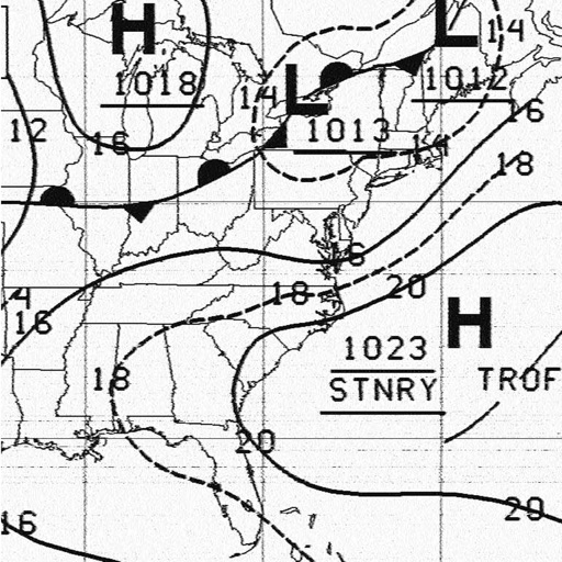
Receive and display marine fax images using HF radio audio. Connect via Bluetooth or audio input. Tune to fax frequencies. View real-time reports without internet.