

Apps Like SkyCharts XC EFB for iPhone and iPad
Current FAA aviation charts updated regularly.
The app provides current FAA aviation charts updated every 28 days, including approach plates for the USA. It offers VFR, IFR, and other chart types, with METAR/TAF and IFR overlays.
SkyCharts XC EFB screenshots
Ranked alternatives
Showing 341–360 of 1,000 ranked alternatives.

NavLink HD
Digital Yacht Ltd
Plot courses and track your route
View real-time GPS position on the map. Overlay live AIS ship data when connected. Plot course and track trips.

Seamanship
Calculated Industries, Inc.
U.S. Coast Guard approved boating procedures.
The app provides information and procedures for boaters. It contains approved methods and procedures for Coast Guard boat operations, serving as a primary reference for training.
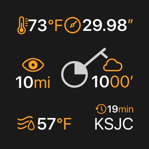


Local Weather Radar - SkyNow
Dmytro Hubenko
Track , , and alerts
View real-time images for current conditions. Track storm movements and severe alerts. Set location-based notifications. Access detailed forecasts and temperature data. Share updates with others.


MyHikes
MyHikes LLC
Track hikes, save trails, upload routes
Track hikes using background GPS to save routes locally. Upload tracks to .org account to view stats or request publication. Save hikes to device for offline use. Share routes with the community for discovery.

Ouranos: Clear Sky Forecast
Paul Joly
Track weather, view stars, share sightings
Plan stargazing sessions with accurate weather forecasts and astronomical data. Track celestial events like meteor showers and planetary alignments. Share observations and connect with other astronomy enthusiasts.

DONIA
andromede oceanologie
Anchor and navigate with seabed maps
Visualize seabed types including sand, Posidonia, coralligenous, and rock. Access port information, maritime regulations, and diving sites. Book mooring buoys for secure anchoring. Track anchoring locations and monitor seabed conditions in real time.


Pilot-Briefer
Alexandre Menai
Plan flights, check weather, track airspace
Plan flights with AI-driven weather analysis and global airfield data. View METAR and TAF reports. Use hands-free mode to listen to briefings. Set flight routes and check airspace restrictions. Sync with aviation databases for real-time updates.

MDSS
DTN, LLC
Mobile access for maintenance decision support.
The app provides mobile access to information supporting winter maintenance decision making. It includes route-specific recommendations, weather and pavement forecasts, and observational data.

Garmin TXi Trainer
Digital Cyclone
Explore flight displays and engine systems
Learn to navigate flight displays and engine systems through simulated touch and bezel interactions. Explore HSI Map zoom gestures and split-screen PFD/MFD modes. Familiarize with interface elements before actual use.

MapTap
Harold Mueller
Browse maps and switch views
Browse digital maps with multiple view options including standard Apple Maps, satellite, hybrid, USGS topographic maps, orthophotos, NOAA nautical charts, and Open Street Map. Navigate, zoom, and search for locations across different map layers.


How we rank alternatives
Apps are ranked by functional similarity, category fit, rating confidence, and popularity.