Navigate with compass, location, altitude, and speed
Navigation displays true and magnetic , current location, altitude, and speed. Users can track movement and view detailed compass readings. Features a clean, intuitive interface with a modern flat design.
Add time stamps, GPS coordinates, and exact addresses to photos and videos instantly. Enable grid, aspect ratio, switch, flash, focus, and timer settings. Store user locations automatically and reverse-geotag addresses.
Create GPS traces with waypoints and save them as GPX files. Use offline maps for navigation without time limits or ads. Share track data and contribute to Street Map. Keep routes private and edit existing traces.
Monitor elevation with a large, clear display that adjusts to your device. Choose between GPS or barometric sensors. Track real-time elevation changes. View barometric pressure in multiple units. Display accuracy details visually.
Enter coordinates to set destinations and follow a compass-based route. Save location tags in a profile to mark important stops. Load, edit, and reuse profiles to navigate between saved locations.
Track vehicles and assets in real time with route history and speed monitoring. View driver activity, including driving time, distance, and rest periods. Predict tachograph data to manage compliance and schedule efficiently.
Display , latitude, altitude, and GPS speed. Show real-time weather, pressure, and wind direction. Track location with GPS and mobile sensors. View geographical data for accurate positioning.
Navigate using a GPS to any saved location. Save current position, input coordinates manually, or extract GPS from photos. View saved points history and export coordinates to Google or Apple Maps.
Track current with accurate GPS data. Switch between mph and km/h. Receive real-time radar alerts. Customize HUD display settings. Monitor and stay informed while driving.
Display directions and current location data. View altitude, barometric pressure, and coordinate details. Navigate using coordinates and save location bookmarks. Track sunrise and sunset times. Show solar elevation and azimuth angles.
Manage versions and account settings. Monitor battery level with animated visuals. View monthly calendar. Display live analog or digital clock. Use a compass with non-traditional direction. Access console viewer. Sync contacts and manage preferences.
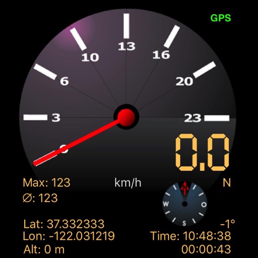
The app displays speed using GPS data, showing analog and digital readouts. It includes a compass, stopwatch, and supports multiple vehicle modes like Car, Airplane, and Sailboat.
Photos with GPS data including , time, weather, and compass. Share geotagged photos with contacts. Add map markers, latitude, longitude, and altitude to images. Stamp photos with date and time. Sync data with captured photos.