The app allows users to record bird sightings and other wildlife. Users can view past sightings, see community observations, and manage personal lists.
by British Trust for Ornithology★ 4.03 ratingsReferenceFreeData updated 2026-10-09
View high-resolution images, distribution maps, and detailed descriptions of over 1300 bird species in the . Search by species name or location. Save and annotate species information for reference during birdwatching trips.
Access prayer times and receive notifications. View upcoming center programs and latest news, including moon sightings and community updates. Donate via Google Pay. Watch live programs and events.
The app identifies birds of the British Isles with images and songs. It records user sightings with GPS position and photos, offering anatomical, ecological, and taxonomic information for 253 species.
Record and identify bird with detailed species information. Access over 240 bird species and 1600 high-quality audio samples. Play male songs, calls, alarm calls, juvenile , and aggression noises.
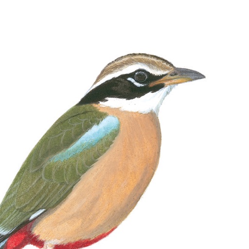
Identify bird species with detailed illustrations and descriptions. Search by name, location, or characteristics. View high-quality images and plumage details. Access species information including habitat, behavior, and range.
Stay updated with real-time bird sightings and wildlife reports across the UK and Ireland. View detailed directions, map pins, and expert commentary. Access breaking news on rare and mega species.
View real-time shark sightings and tagged detections from Surf Life Saving drones. Access alerts and safety guidelines to reduce the risk of shark encounters. Locate NSW beaches and estuaries with integrated maps.
Identify dragonflies and damselflies with species guides and location-based suggestions. View and submit sightings with photos. Learn about species through detailed descriptions and habitat information.