

Apps Like CorrectAltitude for iPhone and iPad
Altitude determination using GPS.
The app determines altitude using data from multiple GPS satellites. It allows users to capture dated photographs with altitude information, useful for navigation and emergencies.
CorrectAltitude screenshots
Ranked alternatives
Showing 621–640 of 1,000 ranked alternatives.



Ultramagic FlightPack
Ultramagic, S.A.
Track flights with offline maps and weather
GPS track with color-coded altitude layers to identify wind patterns. Crew members view real-time flight tracking on a webpage. Includes offline maps, weather forecasts, load calculations, and a flight logbook.




GPS Recorder X
makoto tsurumaru
Record location data and notes.
The app records measurement data including distance, time, and altitude. Users can view recorded data on maps, create notes, and export information in various formats.


Where2Go: GPS Photo Compass
Pavel Vorontsov
Navigate with GPS and saved points
Navigate using a GPS to any saved location. Save current position, input coordinates manually, or extract GPS from photos. View saved points history and export coordinates to Google or Apple Maps.


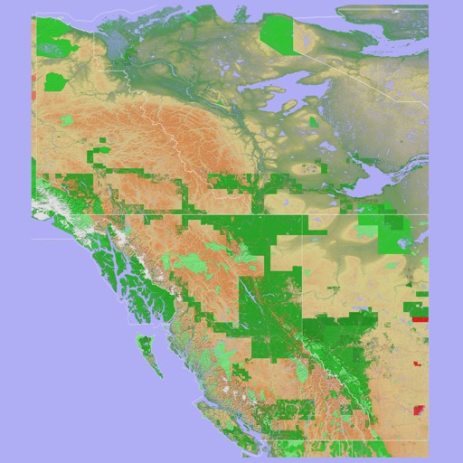
Scenic Map Western Canada
Mark Granger
3D topo map of Western Canada
The app provides a 3D topographical map of Western Canada. Map data downloads to the device for use without an internet connection, allowing users to view terrain features as small as ten meters.
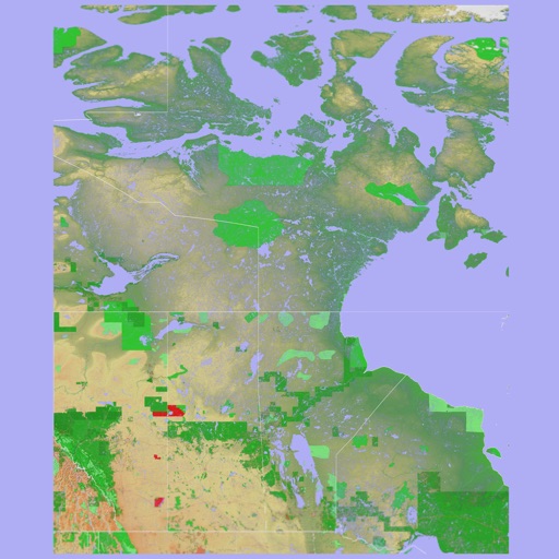

Scenic Map Eastern Canada
Mark Granger
3D topographic map of Eastern Canada
The app presents a 3D topographic map of Eastern Canada. Users can download map data for use without an internet connection, suitable for various travel methods.
How we rank alternatives
Apps are ranked by functional similarity, category fit, rating confidence, and popularity.