

Apps Like CorrectAltitude for iPhone and iPad
Altitude determination using GPS.
The app determines altitude using data from multiple GPS satellites. It allows users to capture dated photographs with altitude information, useful for navigation and emergencies.
CorrectAltitude screenshots
Ranked alternatives
Showing 461–480 of 1,000 ranked alternatives.

Density Altitude & Air Density
Ingenieria del Software ISEnet S.L.
Calculate air and altitude settings
Calculate air , altitude, and other aviation-related metrics using temperature, altitude, humidity, and atmospheric pressure. Input data can be sourced from GPS, weather stations, or entered manually.


Share Tracks–GPS Route Map
Shenzhen Siyang Xunfei Technology Co., Ltd.
Record, enhance, and share GPS routes.
The app records GPS tracks, allowing users to save routes and add photos, videos, and voice notes. Users can share routes with others or upload them to the cloud for discovery by a global community.


Offline Maps: GPS Tracker GPX
SERGEI BEZDENEZHNYKH
Create and export maps with waypoints
Create and manage travel tracks with waypoints. Import and export maps in .gpx format. Use with unlimited storage. Access background barometer and pedometer data. Display color gradients for speed and height.

My Altitude: Elevation
Shenzhen Jirry Jirry Technology Co., Ltd.
Track altitude and direction in real time
Track altitude with real-time measurements. Use a sensitive compass for accurate direction. Capture latitude and longitude data via camera. Monitor atmospheric pressure and magnetic field readings. Check real-time location data and sync with maps.



TallyParks
City of Tallahassee
Explore Tallahassee's parks and trails.
The app allows users to find parks and trails in Tallahassee, highlighting hidden gems not available elsewhere. Users can browse amenities, search for trails, and see their real-time position while exploring.

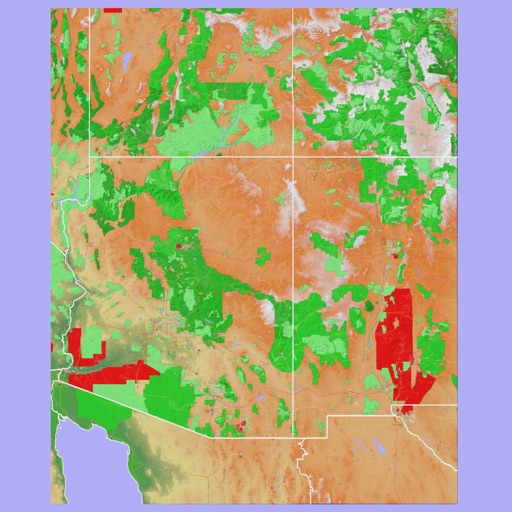
Scenic Map Grand Canyon
Mark Granger
Explore landscapes in three dimensions.
The app provides 3D topographic maps for iPad and iPhone. Vector map data is contained within the app for offline use, supporting navigation in various environments.


Traseo. Tourist routes & maps
Amistad Spolka Z Ograniczonia Odpowiedzialnoscia
Plan , navigate, and explore
Plan using offline and save them to My Map. Pin points of interest with descriptions and photos. Navigate existing or to any location. Record trips and display elevation graphs. Export as .gpx files. Integrate with Garmin. Buy professional .

Drone Studio
Nutmeg Studios LLC
Edit footage with telemetry overlays
Edit videos with filters and overlays. Display telemetry data including map, flight path, speed, and altitude. Support SRT subtitles for DJI videos. Export and share edited videos.


How we rank alternatives
Apps are ranked by functional similarity, category fit, rating confidence, and popularity.