

Apps Like CorrectAltitude for iPhone and iPad
Altitude determination using GPS.
The app determines altitude using data from multiple GPS satellites. It allows users to capture dated photographs with altitude information, useful for navigation and emergencies.
CorrectAltitude screenshots
Ranked alternatives
Showing 281–300 of 1,000 ranked alternatives.

Speedometer GPS+
Tigran Mkhitaryan
Track speed and distance with GPS
Monitor speed and distance with real-time GPS tracking. Switch between car and bike cyclometer. View average and max speed. Adjust units to mph or km/h. Check GPS accuracy and distance precision. Track time elapsed and altitude.

TimeCamera-TimeStamp To Photo
秋雨 梁
Add watermarks to photos and videos
Add watermarks to photos, videos, and other media. Include customizable elements like text, images, logos, and location data. Adjust size, color, and style of watermarks. Create and save templates for repeated use.

myTracks - The GPS-Logger
Dirk Stichling
GPS logger for iPhone and Watch
The app functions as a GPS logger using an iPhone or Apple Watch. Users can display GPS recordings on maps, set waypoints, and add photos to tracks.

MuslimPilot Log
MOHAMMED AL OTAIBI
Track prayer times and flight logs
Navigation allows pilots to calculate prayer times adjusted for altitude. Import flight plans to create detailed logs. Track Fajr, Dhuhr, Asr, Maghrib, and Isha times along routes. Sync with flight data for accurate scheduling.

Landscape photography Helper
永晓 邵
Track sun path, time, and direction
Plan sessions by analyzing sunrise and sunset times, moon phases, and star visibility. Calculate optimal shooting angles and lighting conditions. Track celestial events and weather patterns to prepare for ideal shooting opportunities.


Maven - For DJI Drones
Michele Vagnetti
Fly , capture footage, edit clips
Plan and execute autonomous flights using waypoint missions. Track subjects with GPS Follow Me. Capture cinematic shots with Virtual Copilot. Control drone with intuitive navigation tools. Enable immersive VR flight experiences.

GPS Tour
Michael Tschuggnall
Add locations and follow the compass
Enter coordinates to set destinations and follow a compass-based route. Save location tags in a profile to mark important stops. Load, edit, and reuse profiles to navigate between saved locations.
GPS Map Camera - Geotag Photo
Sejalben Nimeshkumar Savaliya
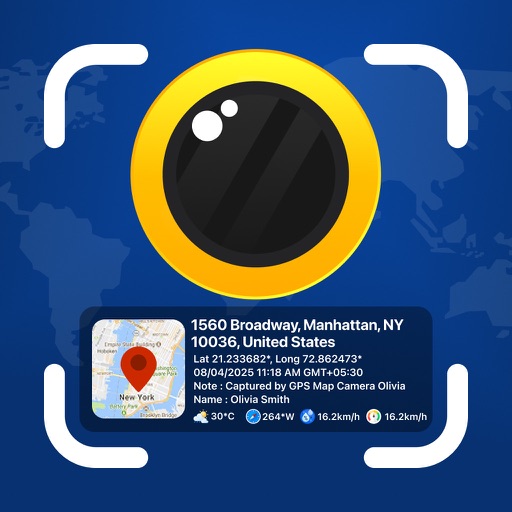
Photos and videos with GPS
Photos and videos with real-time location, date, time, latitude, longitude, altitude, and weather data. Capture timestamps during拍摄. View map-based location pins for each media file. Export geotagged files with embedded metadata.


How we rank alternatives
Apps are ranked by functional similarity, category fit, rating confidence, and popularity.