Display tidal information for U.S. locations. View current and predicted levels. Set custom alerts for specific times and locations. Share data via email or social media. Track historical patterns.
by Yasunori Kuroki★ 4.88,119 ratingsWeatherFreeData updated 2026-09-08
Display real-time weather with temperature, wind speed, humidity, and pressure. View hourly forecasts for specific locations. Show sunrise, sunset, moonrise, and moonset times. Access 15-day forecasts and air quality data.
Record and track fishing data including weight, length, and fish type. Store and edit up to 10 weights. Capture and save selfies. Archive details like time, location, weather, and moon phase. View maps and barometric pressure.
View current weather and hourly forecasts for multiple locations. Set customized severe weather alerts for lightning, forecasts, and air quality. Receive real-time updates from official sources.
View real-time air quality data from monitoring stations across Wisconsin. Check pollution levels, track trends, and receive alerts for high pollution days. Access historical data and compare readings between locations.
Check current and 16-day forecasts with 3-hourly updates. View sunrise and sunset times. Highlight rainy periods and hide clear . Support for multiple cities.
The app provides information on fly fishing techniques, including where, when, and how to fish. It features articles, pictures, diagrams, image galleries, videos, and maps covering rods, reels, lines, knots, and more.
The app provides detailed maps for outdoor activities and work, including terrain, waterways, and property data. It offers features like offline maps, nautical charts, and GPS positioning for navigation.
The app covers the fishing, diving, and boating lifestyle in the Florida Keys. It provides fishing and diving reports, along with up-to-date fishing regulations from major agencies.
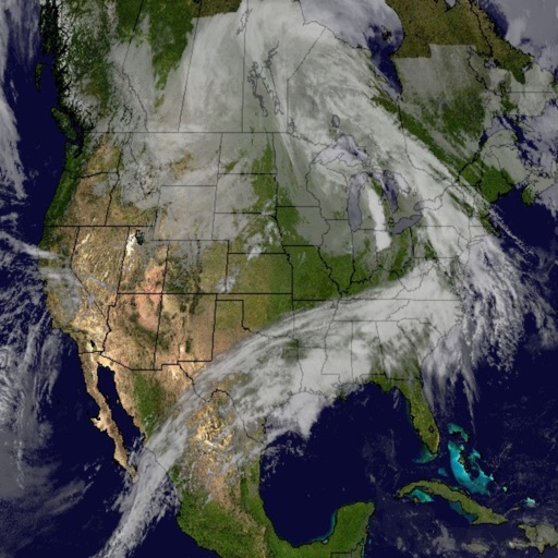
Monitor weather conditions along your route with real-time , TAF, and SIGMET data. Access satellite imagery, radar, and 3D terrain. View NOTAMs and historical data for offline reference. Track storm warnings and flight visibility reports.