
EazyCalc
TA MINH QUANG
Track calculations and annotate steps
Perform calculations with a minimalist interface. View intelligent calculation displays and track results through annotation features. Adjust font options in future updates.
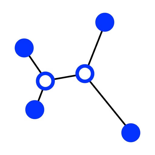
Evolutionary algorithm computes optimal trees.
The app computes Steiner trees using an evolutionary algorithm. Users can manipulate points to visualize tree construction and identify optimal Steiner point positions.
Showing 81–100 of 1,000 ranked alternatives.
TA MINH QUANG
Track calculations and annotate steps
Perform calculations with a minimalist interface. View intelligent calculation displays and track results through annotation features. Adjust font options in future updates.


仁超 张
Create trees and track relationships
Manage trees by creating, viewing, and editing records. Track blood relationships and document heritage. Share photos, stories, and events with members. Organize historical research and cultural heritage information.

Araz Asgharieh Ahari
Snap leaves, identify trees, diagnose plants
Identify trees by snapping leaf photos. Get instant species recognition using AI. Diagnose plant health issues from leaf images. View detailed plant information and care tips. Share identified plants with others.

Nana Sarpong
Learn , explore topics, progress step
Learn 135 essential across 12 topics including numbers, colors, shapes, fruits, and animals. Each word is taught in 8 languages. Practice pronunciation, repeat , and test knowledge with quizzes.


DAMIEN, NATHANAEL ELLEDGE
Identify plants and care for them
Identify plants by uploading photos or snapping images. Diagnose issues with AI analysis. Learn care tips including watering, lighting, and fertilizing. Track growth over time. Receive personalized care recommendations.

Mirinae, Inc.
AI analysis and explanations
By analyzing sentences AI. Translate sentences and break down parts of speech, grammar, particles, and honorifics. Identify idioms and neologisms. View parse trees showing phrases and clauses.


TOWN OF WESTFIELD
Report issues and share location with media
Report non-emergency issues like potholes, park maintenance, and street lights using GPS to identify locations. Upload photos or videos for details. Track request status and receive updates as it moves through the Department of Public Works.

Hankinsoft Development Inc
Query databases, edit SQL, manage connections
Manage and query databases with . Execute SQL scripts, use intellisense for autocompletion, and highlight syntax with custom themes. Navigate structures with context-aware tree views. Support multiple types including Postgres, MySQL, and Snowflake.

Droidware UK
Locate TV satellites in the sky.
The app uses phone sensors to detect location and calculate azimuth and elevation for satellite antenna alignment. Augmented Reality View shows satellite icons through the camera, aiding in line-of-sight checks.


Texas A&M Forest Service
Explore trees and their benefits.
The app creates an interactive trail of trees for users to connect and share. It allows exploration of tree benefits and finding living examples of tree species nearby.

Richard Wolton
Visualize global earthquakes with 3D
The app displays global earthquakes using animated graphics for a big picture view. It includes over 4000 years of historic earthquake data and current worldwide volcano activity, with details available for individual quakes.

Center for Evolutionary Functional Genomics
Explore evolutionary timescale of life
The app provides a knowledge-base for the evolutionary timescale of life. It allows exploration of divergence times among organisms using published molecular time estimates and presents results.
Apps are ranked by functional similarity, category fit, rating confidence, and popularity.